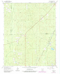
1962 Map of Kedron
USGS Topo · Published 1984About this map
The Southwestern St Louis railroad corridor dictates the settlement patterns of this rural Arkansas landscape, passing through Kedron and northward toward Rone. Located at the tri-county juncture of Grant, Jefferson, and Cleveland counties, the area is defined by a dense network of waterways including Big Creek, Hudson Creek, and Allgood Creek. These streams cut through timberland and small clearings where local history is anchored by sites like Mt Carmel Ch and several family-named burial grounds. Genealogists will find interest in the proximity of Piney Grove Cem, Macedonia Cem, and Randolph Cem. The terrain also features notable landmarks such as Dunkeffie Lake and various gravel pits, reflecting a landscape tied to both natural drainage and local transit infrastructure during the early 1960s.
Find a feature on this map
18 named features on this map. Tap any name to fly to it.
Don’t see what you’re looking for? This feature index may not catch every label — zoom into the map to look around manually.
Map Details
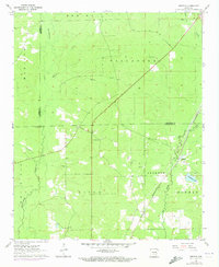
Editions of this 1962 Kedron Map
3 editions found

Other maps of this area

1953 · El Dorado
USGS Topo · 1:250,000

1955 · Little Rock
USGS Topo · 1:250,000

1956 · Little Rock
USGS Topo · 1:250,000

1957 · El Dorado
USGS Topo · 1:250,000

1958 · El Dorado
USGS Topo · 1:250,000

1960 · El Dorado
USGS Topo · 1:250,000

1960 · Little Rock
USGS Topo · 1:250,000

1962 · Pine Bluff
USGS Topo · 1:24,000

1962 · Faith
USGS Topo · 1:24,000

1962 · Pine Bluff NW
USGS Topo · 1:24,000