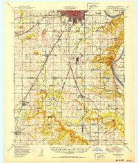
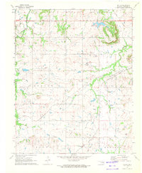
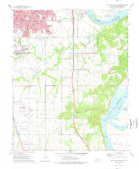
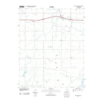
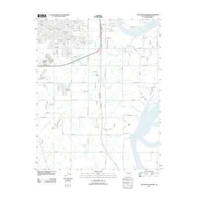
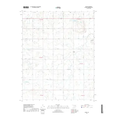
1950 Map of Keefeton
USGS Topo · Published 1950About this map
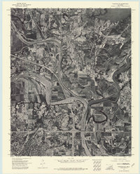
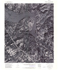
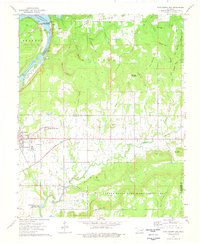
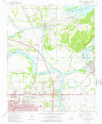
The Arkansas River serves as the dominant natural boundary on the eastern edge of this mid-century survey, where the river's winding path separates Muskogee and McLain counties. The landscape is a network of small agricultural settlements and community-centered landmarks, particularly schools and churches that once anchored local life. From the clustered streets of Keefeton and Oktaha to smaller stops like Myer Station, the area’s development was closely tied to the Midland Valley and St Louis San Francisco railroads.
Find a feature on this map
100 named features on this map. Tap any name to fly to it.
Don’t see what you’re looking for? This feature index may not catch every label — zoom into the map to look around manually.
Map Details
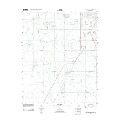
Editions of this 1950 Keefeton Map
2 editions found
Historical Maps of Muskogee Through Time
45 maps found

1905 Muscogee
Muskogee County, OK
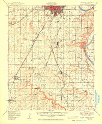
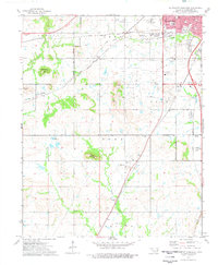
1948 Keefeton
Muskogee County, OK
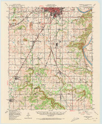
1950 Keefeton
Muskogee County, OK
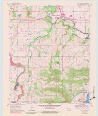
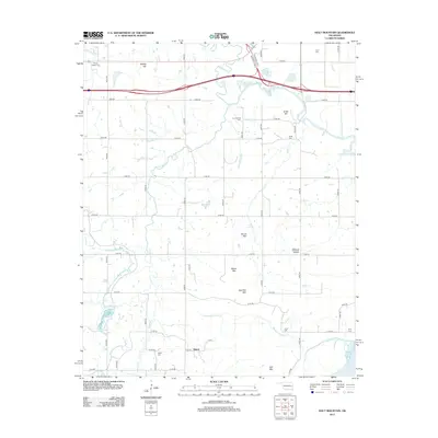
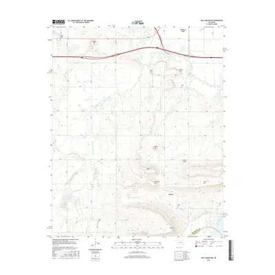
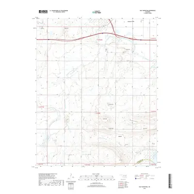
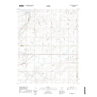
1963 Holt Mountain
Muskogee County, OK
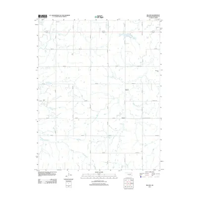
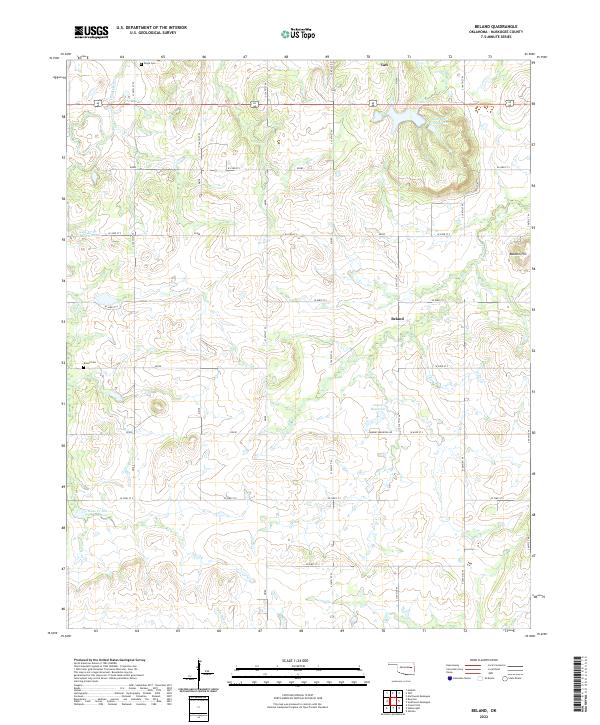
1971 Beland
Muskogee County, OK
1972 Hulbert SW
Muskogee County, OK

1972 Keefeton NE
Muskogee County, OK
1972 Keefeton SE
Muskogee County, OK
1972 Keefeton SW
Muskogee County, OK
1972 Wagoner SE
Muskogee County, OK
1972 Webbers Falls SW
Muskogee County, OK
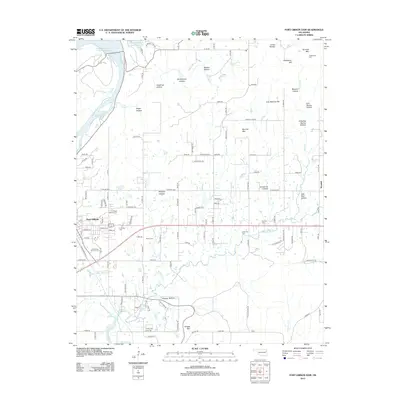
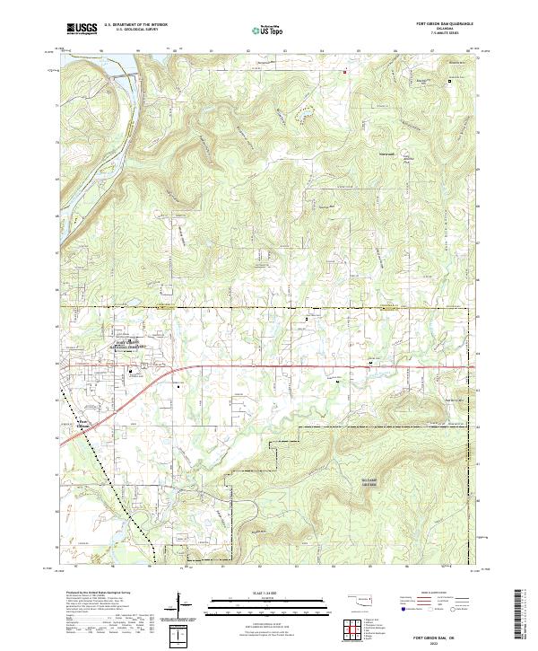
1974 Fort Gibson Dam
Muskogee County, OK
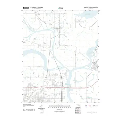
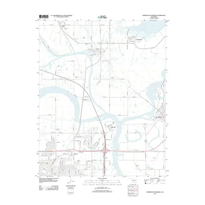
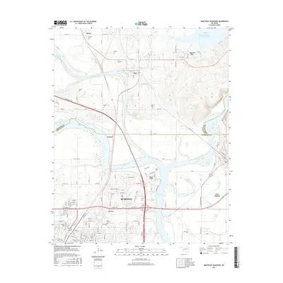
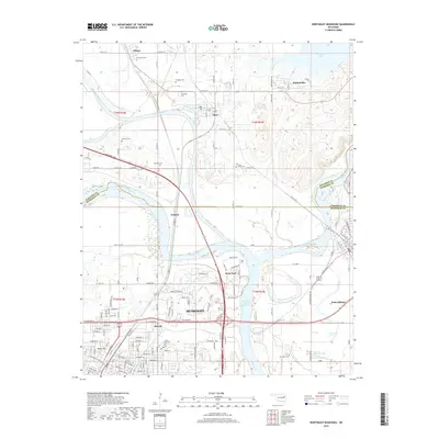
1974 Northeast Muskogee
Muskogee County, OK
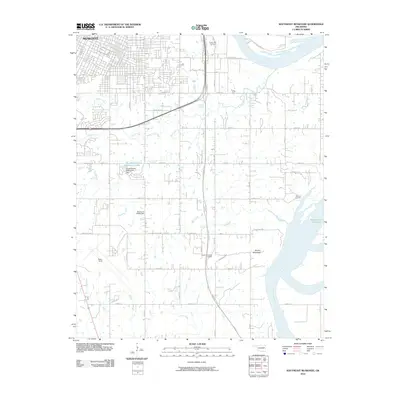
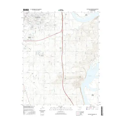
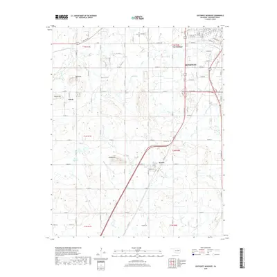
1974 Southeast Muskogee
Muskogee County, OK
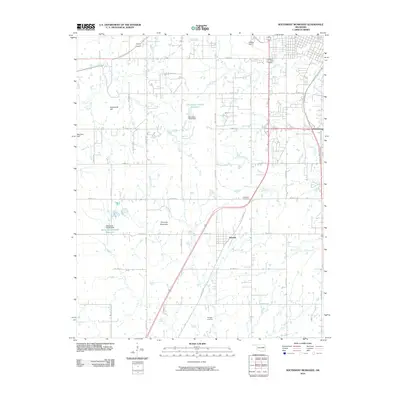
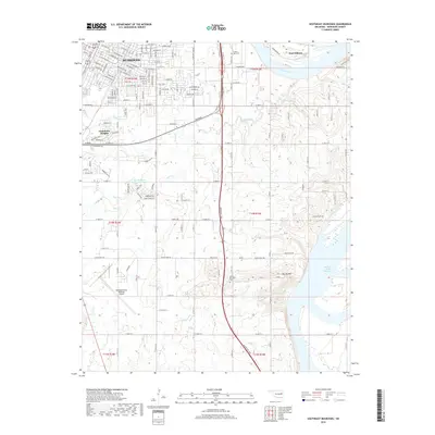
1974 Southwest Muskogee
Muskogee County, OK
2010 Beland
Muskogee County, OK
2010 Fort Gibson Dam
Muskogee County, OK
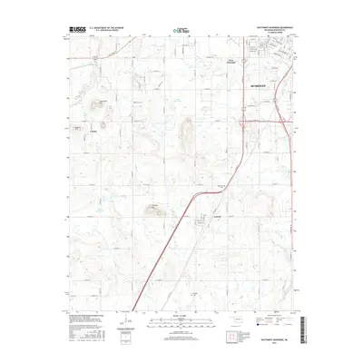
2010 Holt Mountain
Muskogee County, OK
2010 Northeast Muskogee
Muskogee County, OK
2010 Southeast Muskogee
Muskogee County, OK
2010 Southwest Muskogee
Muskogee County, OK
2012 Beland
Muskogee County, OK
2012 Fort Gibson Dam
Muskogee County, OK
2012 Holt Mountain
Muskogee County, OK
2012 Northeast Muskogee
Muskogee County, OK
2012 Southeast Muskogee
Muskogee County, OK
2012 Southwest Muskogee
Muskogee County, OK
2016 Beland
Muskogee County, OK
2016 Fort Gibson Dam
Muskogee County, OK
2016 Holt Mountain
Muskogee County, OK
2016 Northeast Muskogee
Muskogee County, OK
2016 Southeast Muskogee
Muskogee County, OK
2016 Southwest Muskogee
Muskogee County, OK
2018 Beland
Muskogee County, OK
2018 Holt Mountain
Muskogee County, OK
2018 Northeast Muskogee
Muskogee County, OK
2018 Southeast Muskogee
Muskogee County, OK
2018 Southwest Muskogee
Muskogee County, OK
2019 Fort Gibson Dam
Muskogee County, OK
2022 Beland
Muskogee County, OK
2022 Fort Gibson Dam
Muskogee County, OK
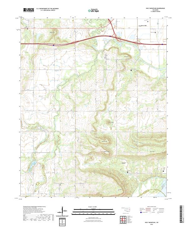
2022 Holt Mountain
Muskogee County, OK
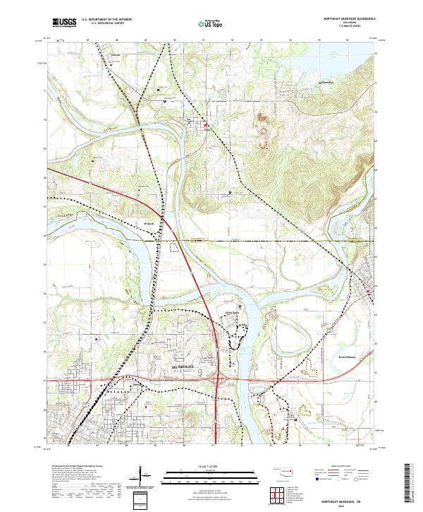
2022 Northeast Muskogee
Muskogee County, OK
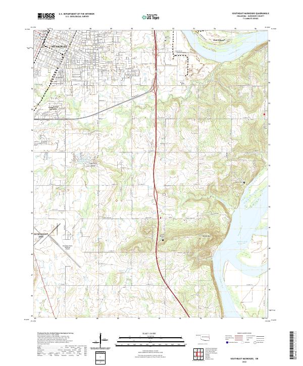
2022 Southeast Muskogee
Muskogee County, OK
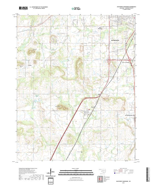
2022 Southwest Muskogee
Muskogee County, OK