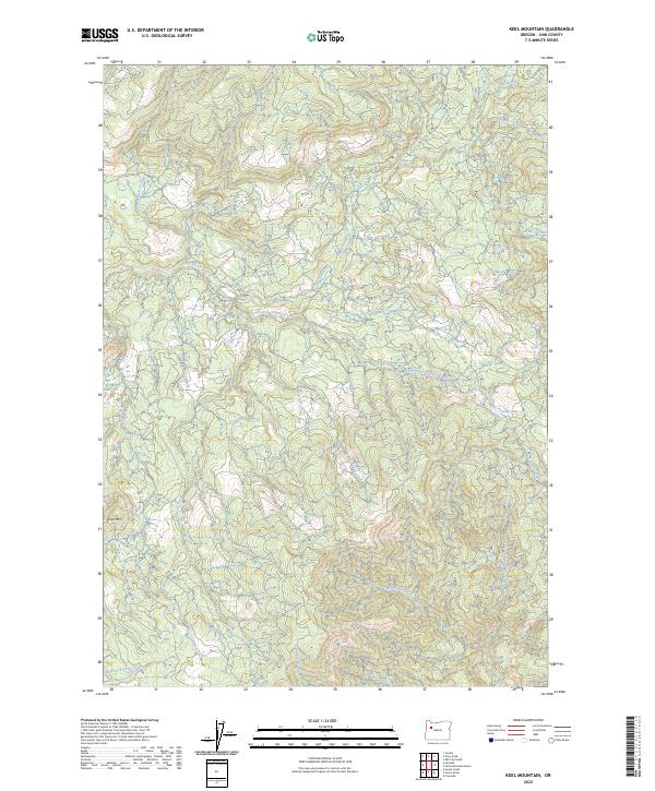
2023 Map of Keel Mountain
USGS Topo · Published 2023About this map
Keel Mtn serves as the dominant high point in this section of the Oregon Cascades, where a dense network of watercourses defines the timber-heavy landscape. The map reveals an intricate drainage system feeding into Crabtree Creek and its southern counterpart, South Fork Crabtree Creek. These waterways, along with others like Bald Peter Creek and Green Mountain Creek, carve deep into the terrain, illustrating the hydrologic complexity of the region.
Find a feature on this map
26 named features on this map. Tap any name to fly to it.
Don’t see what you’re looking for? This feature index may not catch every label — zoom into the map to look around manually.
Map Details
Editions of this 2023 Keel Mountain Map
This is the sole edition of this map. No revisions or reprints were ever made.
Other maps of this area

1929 · Mill City
USGS Topo · 1:125,000

1934 · Mc Kenzie Bridge
USGS Topo · 1:96,000

1940 · Mc Kenzie Bridge
USGS Topo · 1:125,000

1951 · Sweet Home
USGS Topo · 1:62,500

1951 · Snow Peak
USGS Topo · 1:62,500

1953 · Salem
USGS Topo · 1:250,000

1954 · Salem
USGS Topo · 1:250,000

1955 · Cascadia
USGS Topo · 1:62,500

1956 · Quartzville
USGS Topo · 1:62,500

1960 · Salem
USGS Topo · 1:250,000