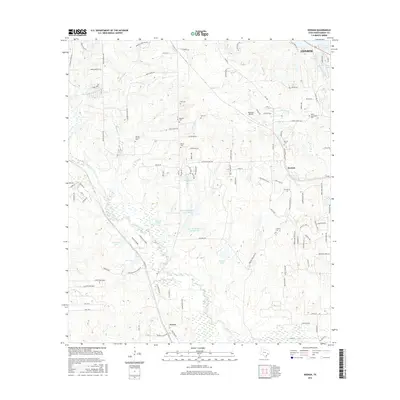
2016 Map of Keenan
USGS Topo · Published 2016About this map
Lake Conroe and the surrounding woodlands of Montgomery County define this landscape, where the settlements of Keenan and Karen serve as local hubs. The area is dense with historical family and community burial grounds, including the Keenan Cem, Spring Branch Cem, and the Rabon Cartwright Cem, offering significant value for genealogical research in this part of Texas. These sites are scattered among a complex network of creeks and small lakes, such as Mound Cr, Martin Cr, and Mitchell Lake.
Find a feature on this map
113 named features on this map. Tap any name to fly to it.
Don’t see what you’re looking for? This feature index may not catch every label — zoom into the map to look around manually.
Map Details
Editions of this 2016 Keenan Map
This is the sole edition of this map. No revisions or reprints were ever made.
Other maps of this area

1954 · Beaumont
USGS Topo · 1:250,000

1957 · Beaumont
USGS Topo · 1:250,000

1958 · Cowl Spur
USGS Topo · 1:24,000

1958 · Lake Paula
USGS Topo · 1:24,000

1959 · Montgomery
USGS Topo · 1:24,000

1962 · Keenan
USGS Topo · 1:24,000
1962 · Oklahoma
USGS Topo · 1:24,000

1962 · Dacus
USGS Topo · 1:24,000

1962 · Plantersville
USGS Topo · 1:24,000
1962 · Magnolia East
USGS Topo · 1:24,000