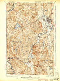
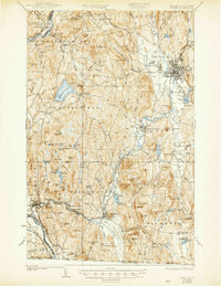
1935 Map of Keene
USGS Topo · Published 1940About this map
The Ashuelot River and its numerous tributaries dictate the movement of the early 20th-century landscape across southwestern New Hampshire. The city of Keene serves as the industrial and rail hub for the region, where the Boston and Maine Railroad lines converge. Beyond the urban center, the terrain is defined by a series of prominent peaks, including Mount Caesar, Gunn Mtn, and Hyland Hill, the latter featuring a Fire Tower. Small agricultural and manufacturing settlements such as West Swanzey, Winchester, and Hinsdale follow the river valleys, while local infrastructure like the Superior Sch and Barber Sch point to the dispersed rural population of the era. To the south, specialized land use is evident at the Richmond Trout Rearing Station, while the western boundary is marked by the wide path of the Connecticut River separating New Hampshire from Vermont.
Find a feature on this map
124 named features on this map. Tap any name to fly to it.
Don’t see what you’re looking for? This feature index may not catch every label — zoom into the map to look around manually.
Map Details
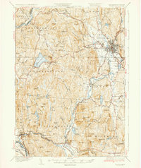
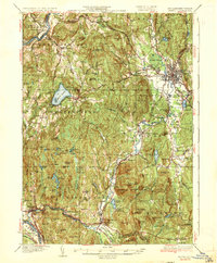
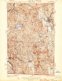
Editions of this 1935 Keene Map
5 editions found
Other maps of this area

1887 · Warwick
USGS Topo · 1:62,500

1887 · Winchendon
USGS Topo · 1:62,500

1889 · Warwick
USGS Topo · 1:62,500

1890 · Greenfield
USGS Topo · 1:62,500

1890 · Winchendon
USGS Topo · 1:62,500

1891 · Brattleboro
USGS Topo · 1:62,500

1893 · Brattleboro
USGS Topo · 1:62,500

1894 · Winchendon
USGS Topo · 1:62,500

1894 · Greenfield
USGS Topo · 1:62,500

1894 · Warwick
USGS Topo · 1:62,500