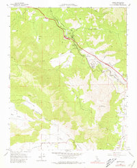
1966 Map of Keene
USGS Topo · Published 1981About this map
The Loop serves as the centerpiece of this engineering landscape, where the Southern Pacific tracks spiral over themselves to manage the steep gradients of the Tehachapi Pass. This 1960s survey documents the critical rail corridor shared with the Atchison Topeka and Santa Fe line, connecting the valley floors to the mountain summits. Small settlements and sidings like Keene, Woodford, Walong, and Marcel underscore the operational needs of the railroad during this era.
Find a feature on this map
33 named features on this map. Tap any name to fly to it.
Don’t see what you’re looking for? This feature index may not catch every label — zoom into the map to look around manually.
Map Details
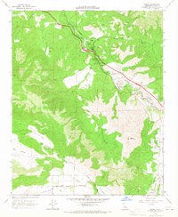
Editions of this 1966 Keene Map
2 editions found
Other maps of this area

1914 · Caliente
USGS Topo · 1:125,000

1915 · Mojave
USGS Topo · 1:125,000

1929 · Bena
USGS Topo · 1:31,680

1930 · Bear Mountain
USGS Topo · 1:31,680

1932 · Bena
USGS Topo · 1:31,680

1933 · Bear Mountain
USGS Topo · 1:31,680

1943 · Tehachapi
USGS Topo · 1:62,500

1943 · Emerald Mtn
USGS Topo · 1:62,500

1943 · Cummings Mountain
USGS Topo · 1:62,500

1943 · Breckenridge Mountain
USGS Topo · 1:62,500