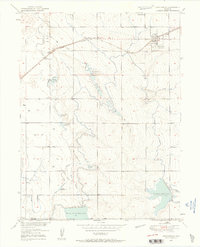
1950 Map of Keenesburg
USGS Topo · Published 1958About this map
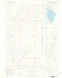
Keenesburg serves as the primary hub of this eastern Colorado landscape, situated along the Chicago Burlington and Quincy railroad line just before it crosses the Weld and Adams County line. The map reveals an intricate network of irrigation vital to the Missouri River Basin development, dominated by the Prospect Reservoir and Horse Creek Reservoir in the south.
Find a feature on this map
21 named features on this map. Tap any name to fly to it.
Don’t see what you’re looking for? This feature index may not catch every label — zoom into the map to look around manually.
Map Details
Editions of this 1950 Keenesburg Map
5 editions found
Other maps of this area

1890 · East Denver
USGS Topo · 1:125,000

1902 · Greeley
USGS Topo · 1:125,000

1942 · Mile High Lakes
USGS Topo · 1:31,680

1949 · Sunnydale
USGS Topo · 1:24,000

1949 · Hudson
USGS Topo · 1:24,000

1950 · Tampa
USGS Topo · 1:24,000

1950 · Keenesburg
USGS Topo · 1:24,000

1950 · Prospect Valley
USGS Topo · 1:24,000

1950 · Klug Ranch
USGS Topo · 1:24,000
1950 · Milton Reservoir
USGS Topo · 1:24,000