
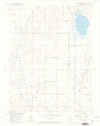
1950 Map of Keenesburg
USGS Topo · Published 1958About this map
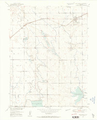
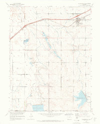
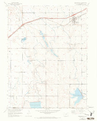
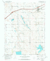
The town of Keenesburg serves as a vital hub for the surrounding agricultural landscape of Weld County at mid-century. This survey illustrates a complex water management system essential for high-plains farming, dominated by the Chicago Burlington and Quincy railroad and a network of irrigation works including the Hudson Canal and Lowline Canal. The drainage of Box Elder Creek and Jim Creek is captured in numerous storage sites like Horse Creek Reservoir, Prospect Reservoir, and the De Remer Lakes.
Find a feature on this map
22 named features on this map. Tap any name to fly to it.
Don’t see what you’re looking for? This feature index may not catch every label — zoom into the map to look around manually.
Map Details
Editions of this 1950 Keenesburg Map
5 editions found
Other maps of this area

1890 · East Denver
USGS Topo · 1:125,000

1902 · Greeley
USGS Topo · 1:125,000

1942 · Mile High Lakes
USGS Topo · 1:31,680

1949 · Sunnydale
USGS Topo · 1:24,000

1949 · Hudson
USGS Topo · 1:24,000

1950 · Tampa
USGS Topo · 1:24,000

1950 · Prospect Valley
USGS Topo · 1:24,000

1950 · Klug Ranch
USGS Topo · 1:24,000
1950 · Milton Reservoir
USGS Topo · 1:24,000

1951 · Keenesburg
USGS Topo · 1:24,000