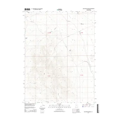
2014 Map of Keg Mountain Ranch
USGS Topo · Published 2014About this map
Keg Mtn dominates the southern landscape of this Juab County desert region, serving as a prominent geographical anchor for a network of remote roads and water sources. To the north, the Old River Bed marks a significant ancient drainage feature, while ephemeral washes like Death Canyon Wash and Dead Ox Wash carve through the arid terrain. The map documents a sparse but vital infrastructure of springs, including Keg Spring, Willow Spring, and Goat Spgs, which likely supported local ranching and mining operations.
Find a feature on this map
24 named features on this map. Tap any name to fly to it.
Don’t see what you’re looking for? This feature index may not catch every label — zoom into the map to look around manually.
Map Details
Editions of this 2014 Keg Mountain Ranch Map
This is the sole edition of this map. No revisions or reprints were ever made.
Other maps of this area

1885 · Sevier Desert
USGS Topo · 1:250,000

1953 · Delta
USGS Topo · 1:250,000

1955 · Indian Springs
USGS Topo · 1:24,000
1955 · Table Mountain
USGS Topo · 1:24,000

1955 · Coyote Springs
USGS Topo · 1:24,000

1958 · Delta
USGS Topo · 1:250,000

1962 · Delta
USGS Topo · 1:250,000

1971 · Picture Rock Hills
USGS Topo · 1:24,000

1971 · Crater Bench Reservoir
USGS Topo · 1:24,000
1971 · Keg Mtn Ranch
USGS Topo · 1:24,000