
1971 Map of Crater Bench Reservoir
USGS Topo · Published 1974About this map
Old River Bed winds through this arid expanse of Juab County, marking a prominent geological feature in a landscape defined by seasonal water and desert terrain. The area is anchored by the Crater Bench and the prominent Desert Mountain in the northeast, where a Jeep Trail navigates the slopes. This 1971 survey illustrates a sparse hydraulic network comprising the River Bed Reservoir and the Crater Bench Reservoir, alongside drainage systems like Cherry Creek and a standard Wash. Significant Mud Flats and a large Depression in the central-south portion of the map reveal the alkaline nature of the basin. Local infrastructure is minimal, represented by the Desert Mountain Well (4638), reflecting the region's historical use for range and livestock rather than permanent settlement.
Find a feature on this map
11 named features on this map. Tap any name to fly to it.
Don’t see what you’re looking for? This feature index may not catch every label — zoom into the map to look around manually.
Map Details
Editions of this 1971 Crater Bench Reservoir Map
This is the sole edition of this map. No revisions or reprints were ever made.
Other maps of this area

1885 · Sevier Desert
USGS Topo · 1:250,000

1953 · Delta
USGS Topo · 1:250,000

1958 · Delta
USGS Topo · 1:250,000

1962 · Delta
USGS Topo · 1:250,000

1971 · Baker Hot Springs
USGS Topo · 1:24,000

1971 · Rain Lake
USGS Topo · 1:24,000

1971 · Desert Mtn Pass
USGS Topo · 1:24,000
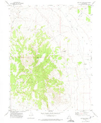
1971 · Keg Mtn Ranch
USGS Topo · 1:24,000

1971 · Fumarole Butte
USGS Topo · 1:24,000
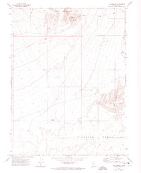
1971 · The Hogback
USGS Topo · 1:24,000