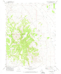
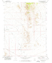
1971 Map of Keg Mtn Ranch
USGS Topo · Published 1974About this map
Keg Mountain dominates the center of this western Utah landscape, rising sharply above the desert floor and defining the transition between the highland summits and the arid basins below. The rugged topography is etched with drainage features like Dead Ox Creek and Death Canyon, leading down toward the north-trending Old River Bed that borders the eastern edge of the quadrangle. In the early 1970s, human activity was concentrated at the isolated Keg Mountain Ranch and scattered water sources such as Willow Spring and various wells, which were vital for life in this dry environment. A network of jeep trails provides access to remote locations like Harvey Knoll and a solitary Prospect, reflecting the long history of resource exploration and cattle ranching in the Slow Elk Hills region.
Find a feature on this map
15 named features on this map. Tap any name to fly to it.
Don’t see what you’re looking for? This feature index may not catch every label — zoom into the map to look around manually.
Map Details
Editions of this 1971 Keg Mtn Ranch Map
2 editions found
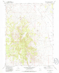
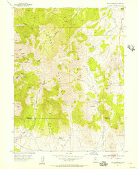
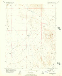
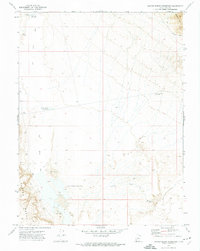
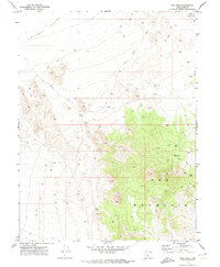
Other maps of this area

1885 · Sevier Desert
USGS Topo · 1:250,000

1953 · Delta
USGS Topo · 1:250,000
1955 · Indian Springs
USGS Topo · 1:24,000
1955 · Table Mountain
USGS Topo · 1:24,000

1955 · Coyote Springs
USGS Topo · 1:24,000

1958 · Delta
USGS Topo · 1:250,000

1962 · Delta
USGS Topo · 1:250,000
1971 · Picture Rock Hills
USGS Topo · 1:24,000
1971 · Crater Bench Reservoir
USGS Topo · 1:24,000
1971 · Keg Mtn Pass
USGS Topo · 1:24,000