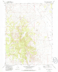
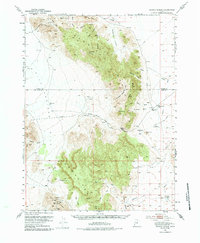
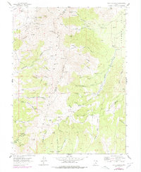
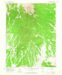
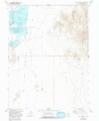
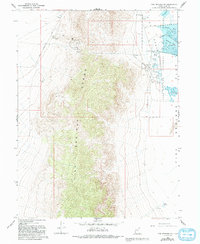
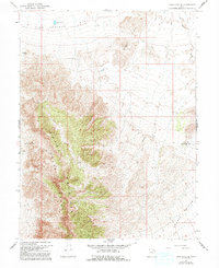
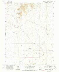
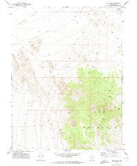
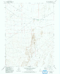
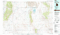
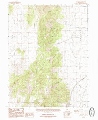
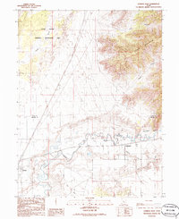
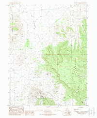
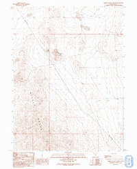
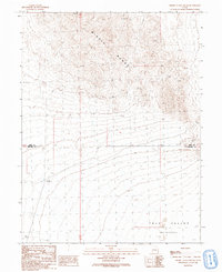
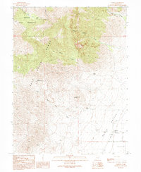
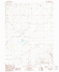
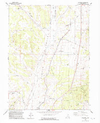
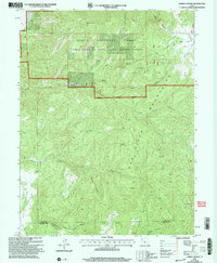
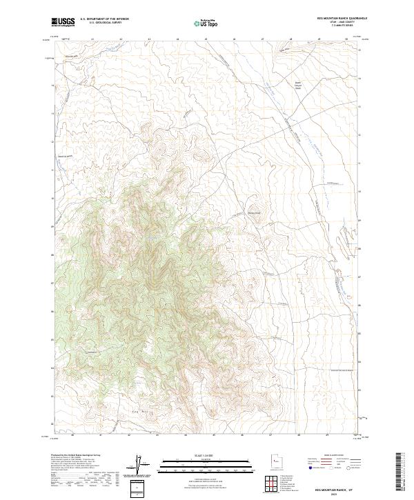
1971 Map of Keg Mtn Ranch
USGS Topo · Published 1986About this map
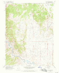
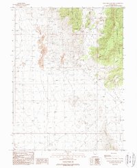
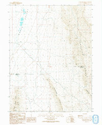
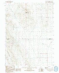
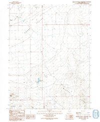
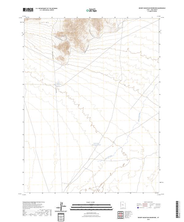
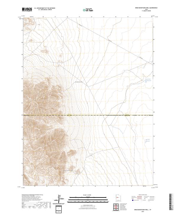
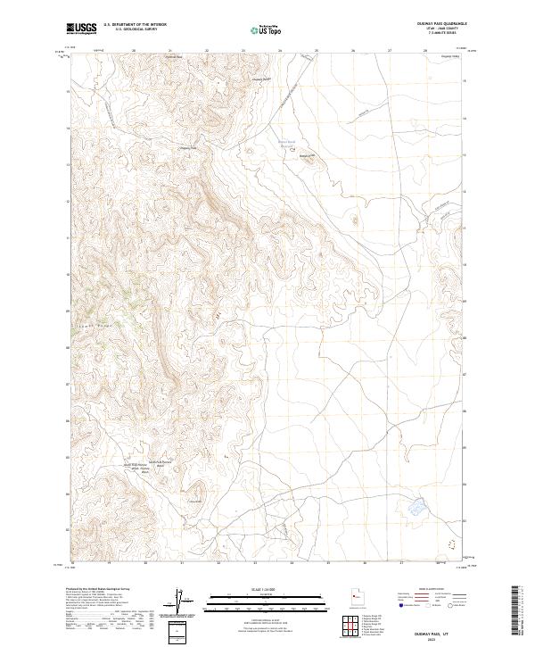
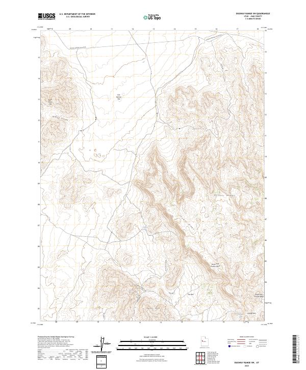
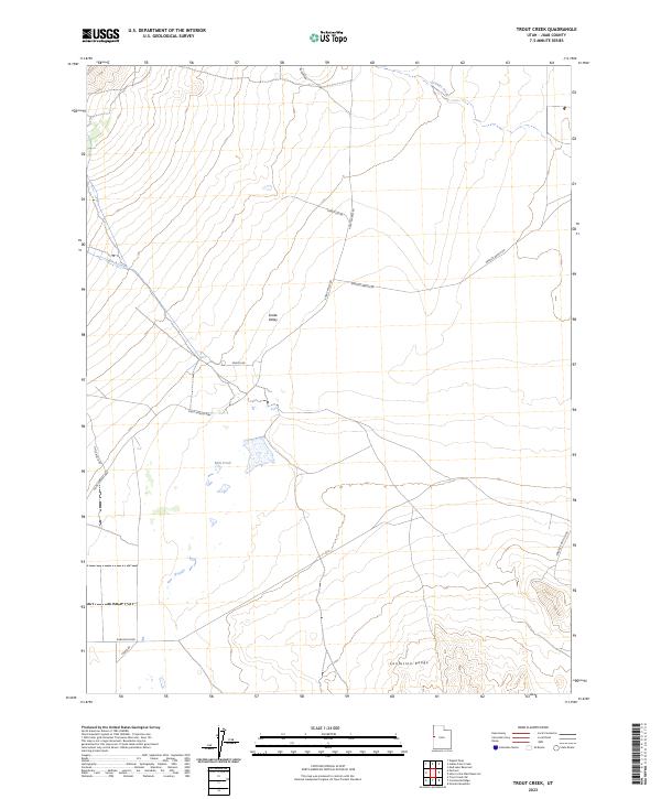
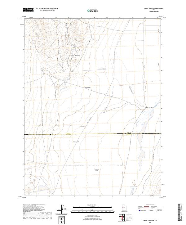
Keg Mountain dominates this high-desert landscape in central Utah, surveyed in the early 1970s. The map illustrates a harsh environment where water management was the primary concern for any inhabitant, as evidenced by the isolated Keg Mountain Ranch and several scattered Well sites and a Water Tank. A distinct geological history is written across the terrain, most notably by the Old Plow River Bed and the network of dry washes like Death Canyon Wash and Dead Ox Creek that carve through the desert floor. To the north, the Slow Elk Hills rise above the flatlands, while the interior of the mountains is accessible only by a primitive network of Jeep Trails. A lone Prospect on the eastern slopes hints at the mineral exploration common to this part of Juab County, while Willow Spring provides a rare natural water source in an otherwise arid expanse.
Find a feature on this map
15 named features on this map. Tap any name to fly to it.
Don’t see what you’re looking for? This feature index may not catch every label — zoom into the map to look around manually.
Map Details
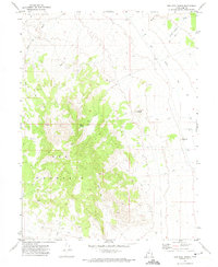
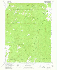
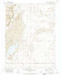
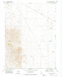
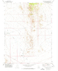
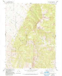
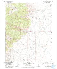
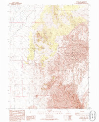
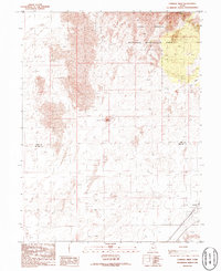
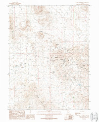
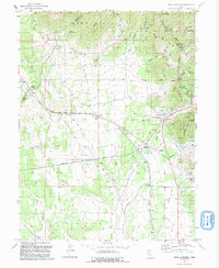
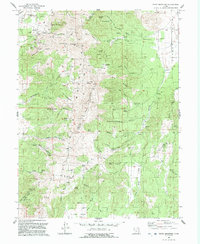
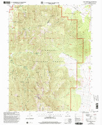
Editions of this 1971 Keg Mtn Ranch Map
2 editions found
Historical Maps of Juab County Through Time
130 maps found
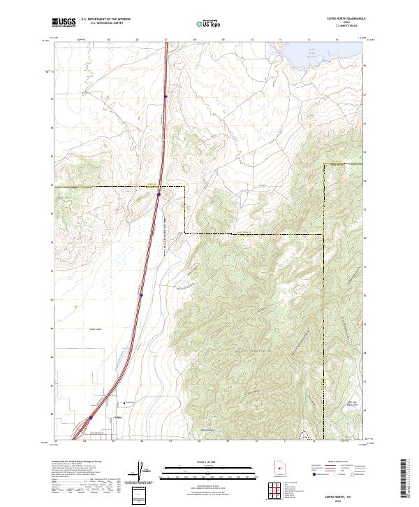
1952 Scipio North
Juab County, UT
1953 Dugway Pass
Juab County, UT
1953 Dugway Range
Juab County, UT
1953 Topaz Mtn
Juab County, UT
1954 Mc Intyre
Juab County, UT
1954 Tintic Junction
Juab County, UT
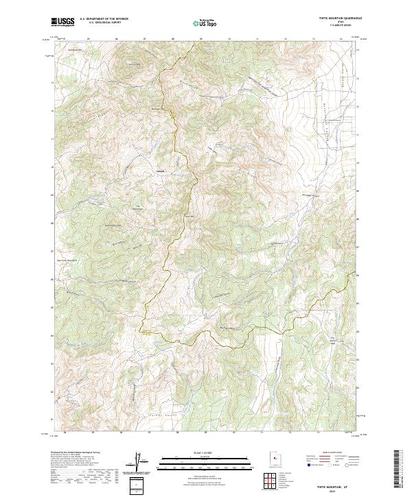
1954 Tintic Mountain
Juab County, UT
1960 Granite Mountain
Juab County, UT
1961 Trout Creek
Juab County, UT
1963 Cherry Creek
Juab County, UT
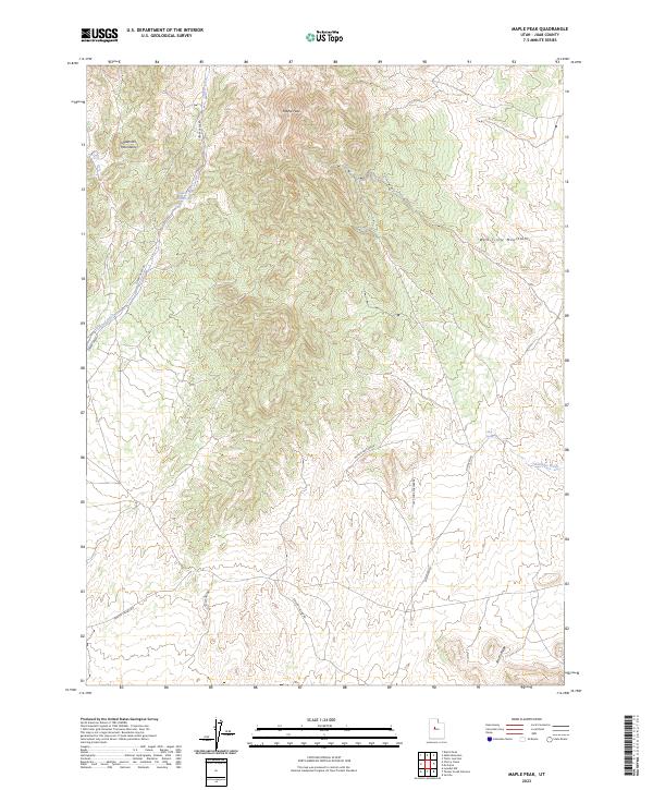
1963 Maple Peak
Juab County, UT
1965 Chriss Canyon
Juab County, UT
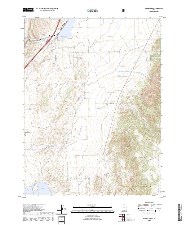
1965 Skinner Peaks
Juab County, UT
1967 Champlin Peak
Juab County, UT
1967 Fish Springs SE
Juab County, UT
1967 Fish Springs SW
Juab County, UT
1967 Furner Ridge
Juab County, UT
1967 Jericho
Juab County, UT
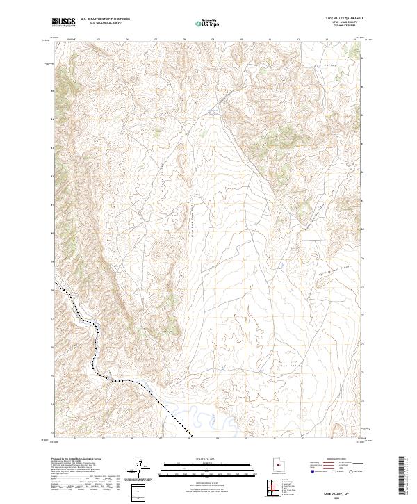
1967 Sage Valley
Juab County, UT
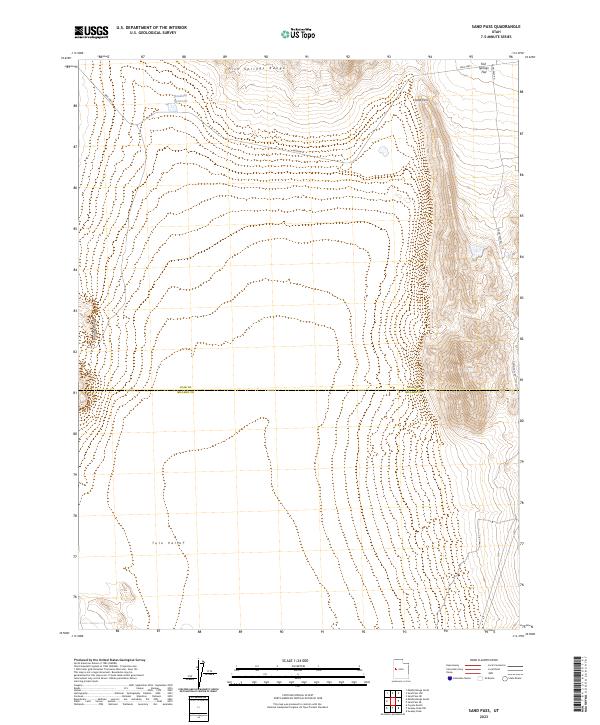
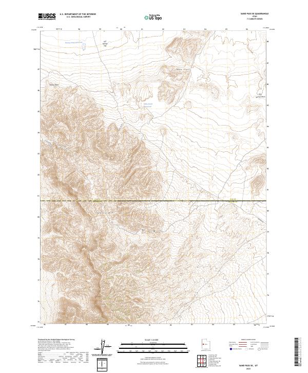
1967 Sand Pass
Juab County, UT
1967 Sand Pass NE
Juab County, UT
1967 Sand Pass NW
Juab County, UT
1967 Sand Pass SE
Juab County, UT
1971 Baker Hot Springs
Juab County, UT
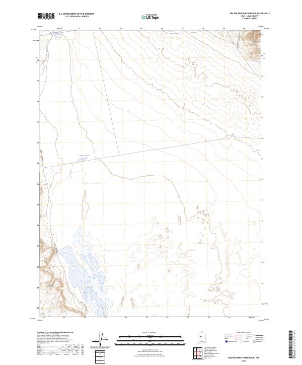
1971 Crater Bench Reservoir
Juab County, UT
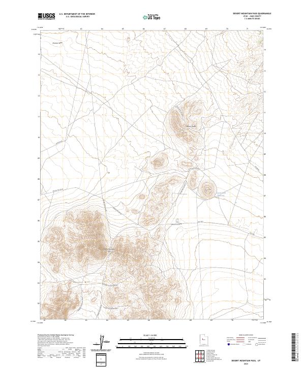
1971 Desert Mtn Pass
Juab County, UT
1971 Desert Mtn Reservoir
Juab County, UT
1971 Drum Mts Well
Juab County, UT
1971 Erickson Wash SW
Juab County, UT
1971 Fumarole Butte
Juab County, UT
1971 Keg Mtn Pass
Juab County, UT
1971 Keg Mtn Ranch
Juab County, UT
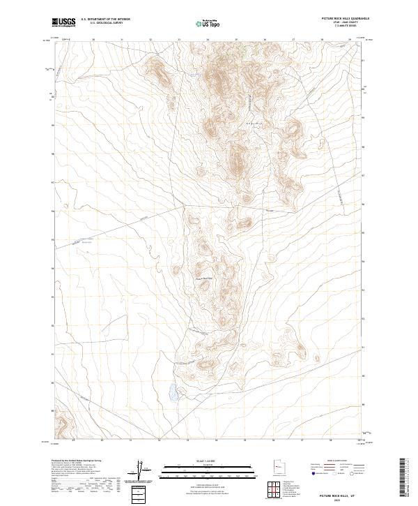
1971 Picture Rock Hills
Juab County, UT
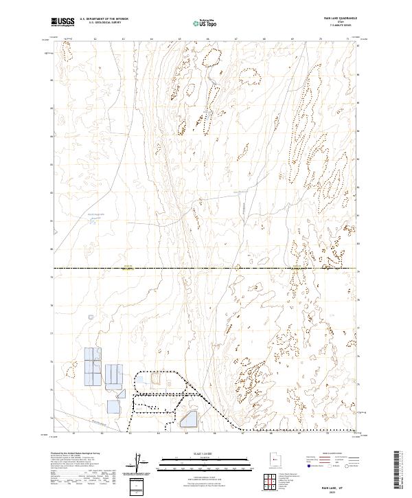
1971 Rain Lake
Juab County, UT
1971 The Hogback
Juab County, UT
1972 Boyd Station
Juab County, UT
1972 Ibapah Peak
Juab County, UT
1972 Indian Farm Creek
Juab County, UT
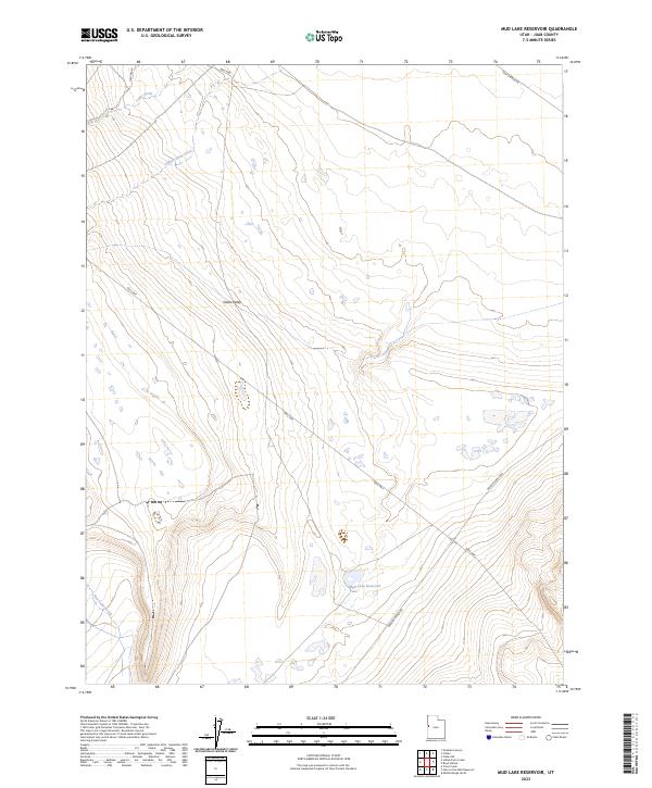
1972 Mud Lake Reservoir
Juab County, UT
1979 Fish Springs
Juab County, UT
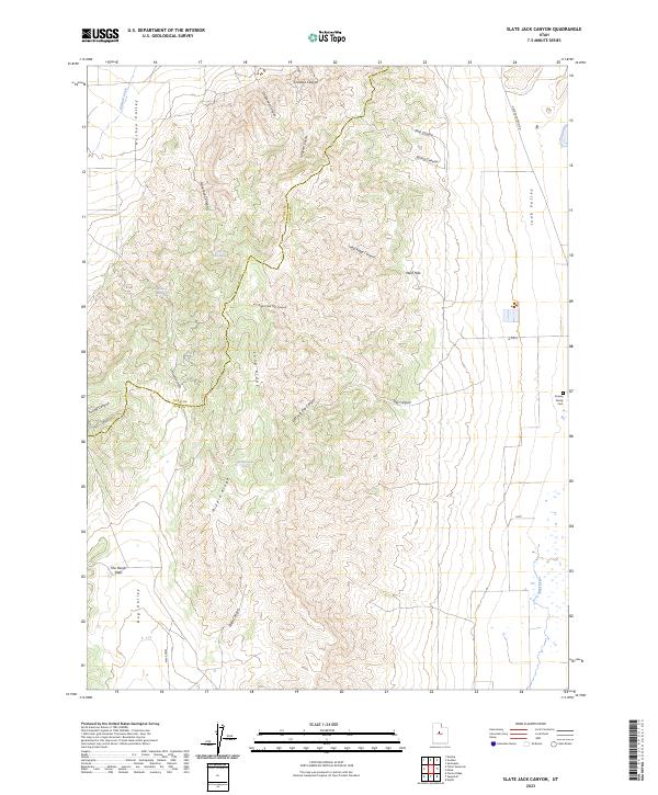
1979 Slate Jack Canyon
Juab County, UT
1983 Fountain Green North
Juab County, UT
1983 Juab
Juab County, UT
1983 Sugarloaf
Juab County, UT
1985 Fool Creek Peak
Juab County, UT
1985 Mills
Juab County, UT
1985 Scipio North
Juab County, UT
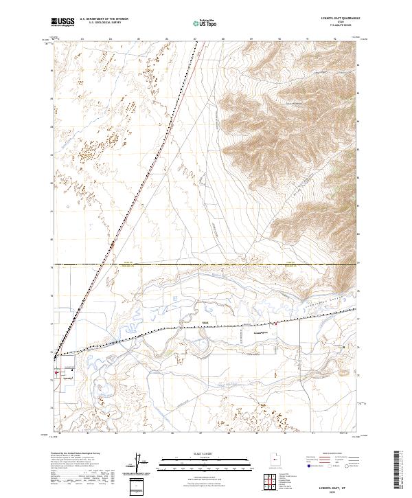
1986 Lynndyl East
Juab County, UT
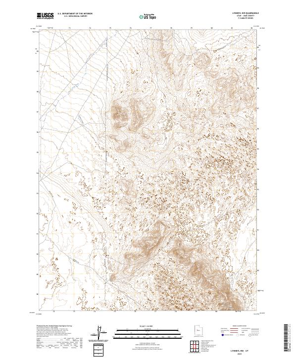
1986 Lynndyl NW
Juab County, UT
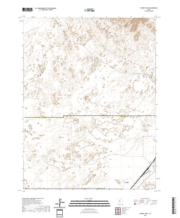
1986 Lynndyl West
Juab County, UT
1986 Tanner Creek Narrows
Juab County, UT
1988 Dugway Range SW
Juab County, UT
1988 Lady Laird Peak
Juab County, UT
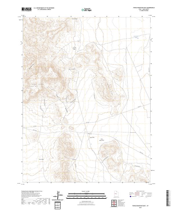
1988 Topaz Mountain East
Juab County, UT
1988 Topaz Mountain SW
Juab County, UT
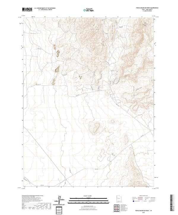
1988 Topaz Mountain West
Juab County, UT
1991 Cockscomb Ridge
Juab County, UT
1991 Granite Mountain
Juab County, UT
1991 Hole-in-the-Wall Reservoir
Juab County, UT
1991 Middle Range North
Juab County, UT
1991 Middle Range South
Juab County, UT
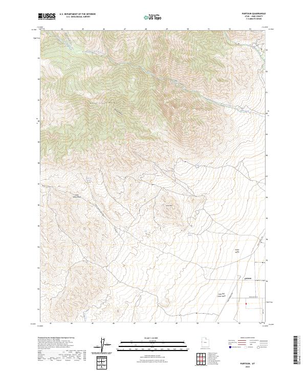
1991 Partoun
Juab County, UT
1991 Trout Creek
Juab County, UT

1991 Trout Creek SW
Juab County, UT
1992 Mc Intyre
Juab County, UT
1992 Tintic Junction
Juab County, UT
1992 Tintic Mountain
Juab County, UT
2001 Champlin Peak
Juab County, UT
2001 Chriss Canyon
Juab County, UT
2001 Fool Creek Peak
Juab County, UT
2001 Fountain Green North
Juab County, UT
2001 Skinner Peaks
Juab County, UT
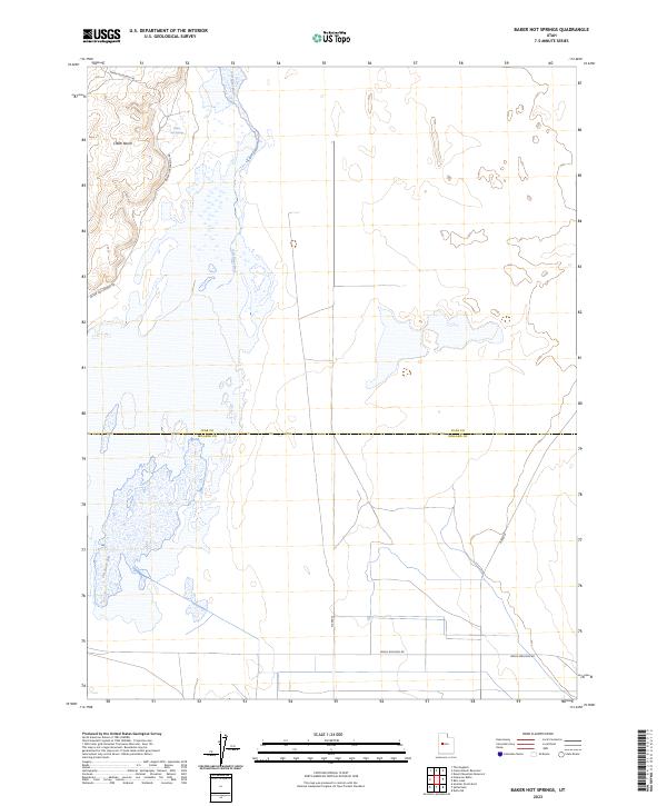
2023 Baker Hot Springs
Juab County, UT
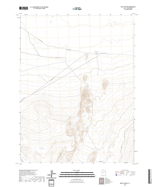
2023 Boyd Station
Juab County, UT
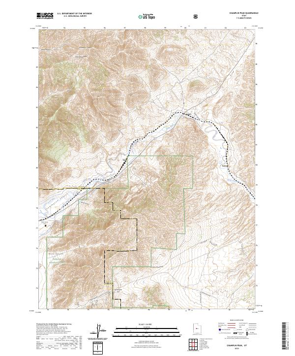
2023 Champlin Peak
Juab County, UT
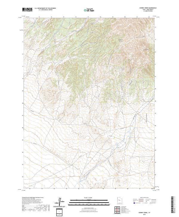
2023 Cherry Creek
Juab County, UT
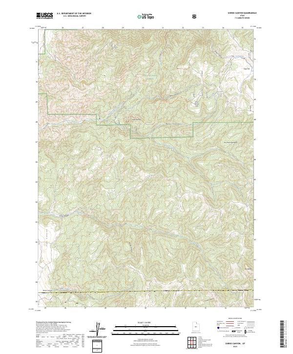
2023 Chriss Canyon
Juab County, UT
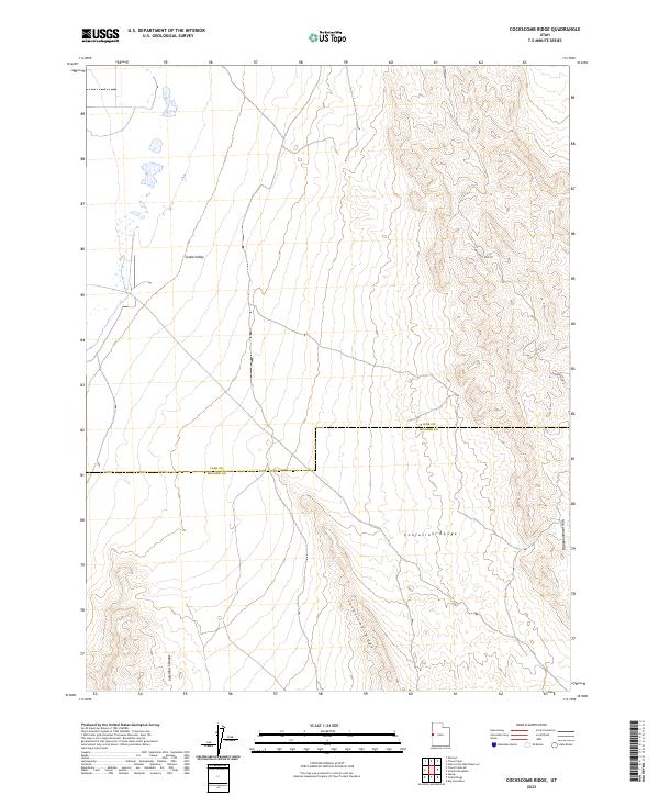
2023 Cockscomb Ridge
Juab County, UT
2023 Crater Bench Reservoir
Juab County, UT
2023 Desert Mountain Pass
Juab County, UT
2023 Desert Mountain Reservoir
Juab County, UT
2023 Drum Mountains Well
Juab County, UT
2023 Dugway Pass
Juab County, UT
2023 Dugway Range SW
Juab County, UT
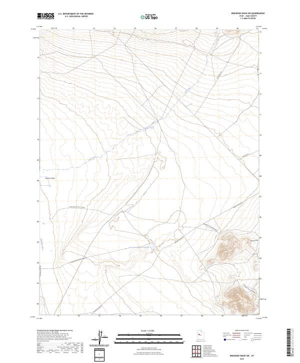
2023 Erickson Wash SW
Juab County, UT
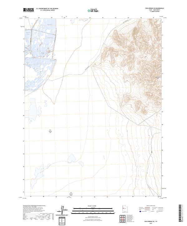
2023 Fish Springs SE
Juab County, UT
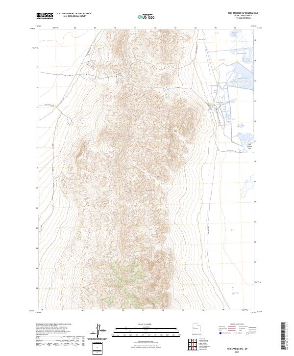
2023 Fish Springs SW
Juab County, UT
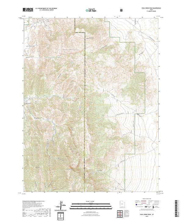
2023 Fool Creek Peak
Juab County, UT
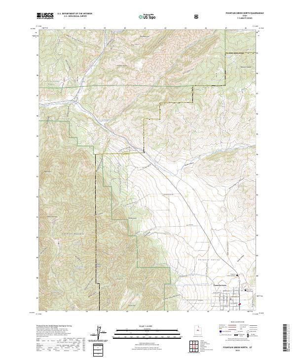
2023 Fountain Green North
Juab County, UT
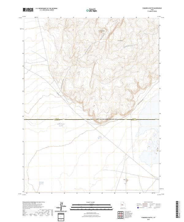
2023 Fumarole Butte
Juab County, UT
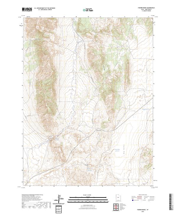
2023 Furner Ridge
Juab County, UT
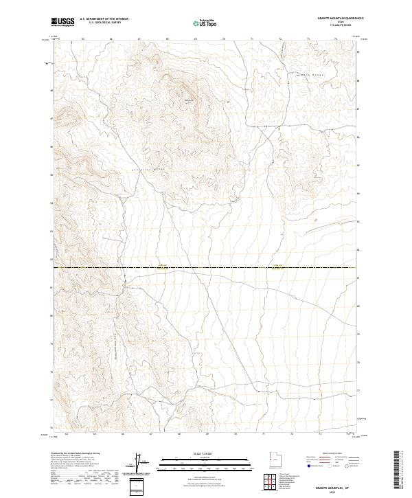
2023 Granite Mountain
Juab County, UT
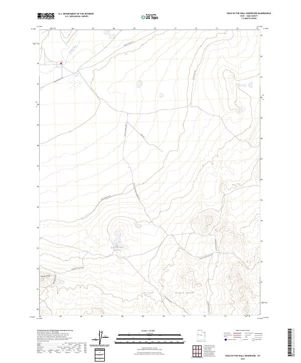
2023 Hole-in-the-Wall Reservoir
Juab County, UT
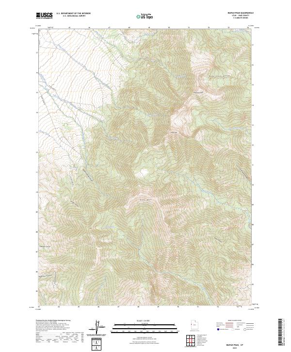
2023 Ibapah Peak
Juab County, UT
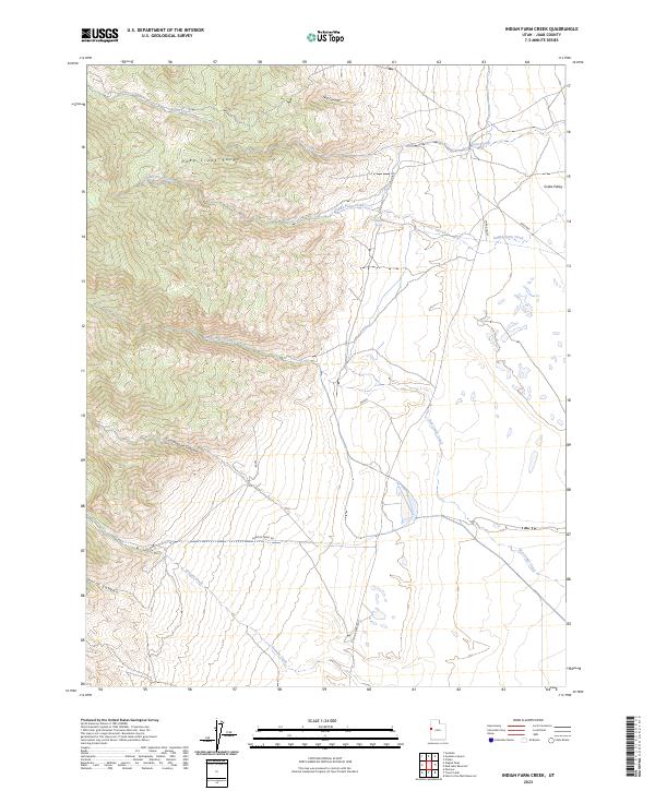
2023 Indian Farm Creek
Juab County, UT
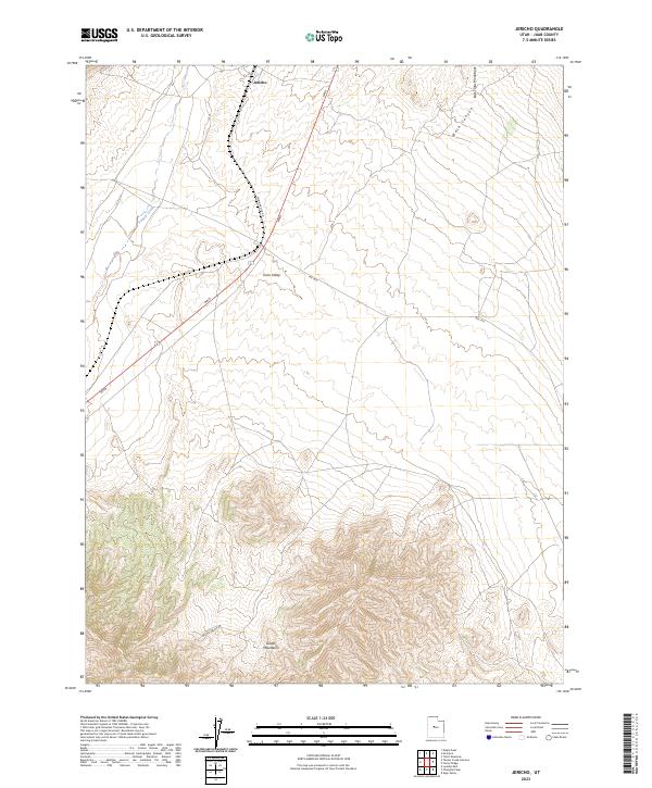
2023 Jericho
Juab County, UT
2023 Juab
Juab County, UT
2023 Keg Mountain Ranch
Juab County, UT
2023 Keg Pass
Juab County, UT
2023 Lady Laird Peak
Juab County, UT
2023 Lynndyl East
Juab County, UT
2023 Lynndyl NW
Juab County, UT
2023 Lynndyl West
Juab County, UT
2023 Maple Peak
Juab County, UT
2023 McIntyre
Juab County, UT
2023 Middle Range North
Juab County, UT
2023 Middle Range South
Juab County, UT
2023 Mills
Juab County, UT
2023 Mud Lake Reservoir
Juab County, UT
2023 Partoun
Juab County, UT
2023 Picture Rock Hills
Juab County, UT
2023 Rain Lake
Juab County, UT
2023 Sage Valley
Juab County, UT
2023 Sand Pass
Juab County, UT
2023 Sand Pass NE
Juab County, UT
2023 Sand Pass NW
Juab County, UT
2023 Sand Pass SE
Juab County, UT
2023 Scipio North
Juab County, UT
2023 Skinner Peaks
Juab County, UT
2023 Slate Jack Canyon
Juab County, UT
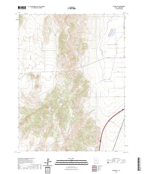
2023 Sugarloaf
Juab County, UT
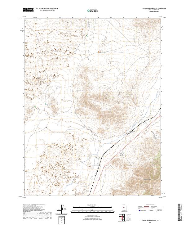
2023 Tanner Creek Narrows
Juab County, UT
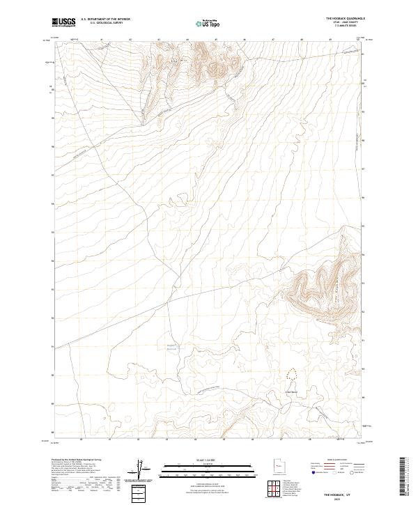
2023 The Hogback
Juab County, UT
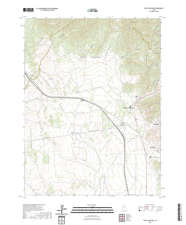
2023 Tintic Junction
Juab County, UT
2023 Tintic Mountain
Juab County, UT
2023 Topaz Mountain East
Juab County, UT
2023 Topaz Mountain SW
Juab County, UT
2023 Topaz Mountain West
Juab County, UT
2023 Trout Creek
Juab County, UT
2023 Trout Creek SW
Juab County, UT