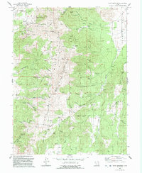
1992 Map of Tintic Mountain
USGS Topo · Published 1992About this map
Tintic Mountains dominate this 1992 landscape along the border of Juab and Utah counties. The area is marked by a legacy of resource extraction, particularly in the northern reaches where several named mines and prospects cluster. Landmarks like the Rising Sun Mine, Buckeye Mine, and the Old Susan Mine are situated near Sunrise Peak and Buckhorn Mtn, reflecting the intensive silver and base metal mining that historically defined the Tintic district.
Find a feature on this map
66 named features on this map. Tap any name to fly to it.
Don’t see what you’re looking for? This feature index may not catch every label — zoom into the map to look around manually.
Map Details
Editions of this 1992 Tintic Mountain Map
This is the sole edition of this map. No revisions or reprints were ever made.
Other maps of this area

1885 · Manti
USGS Topo · 1:250,000

1885 · Sevier Desert
USGS Topo · 1:250,000

1895 · Manti
USGS Topo · 1:250,000

1949 · Eureka
USGS Topo · 1:24,000

1951 · Santaquin
USGS Topo · 1:62,500

1951 · Nephi
USGS Topo · 1:62,500

1953 · Delta
USGS Topo · 1:250,000

1954 · Mc Intyre
USGS Topo · 1:24,000

1954 · Tintic Mountain
USGS Topo · 1:24,000

1954 · Tintic Junction
USGS Topo · 1:24,000