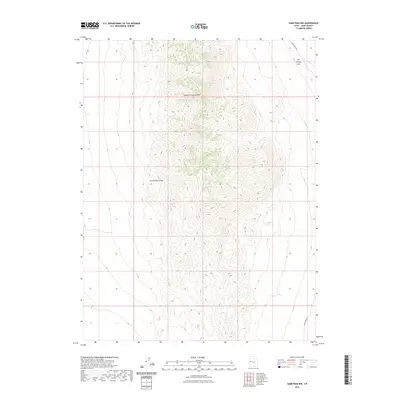
2023 Map of Sand Pass NW
USGS Topo · Published 2023About this map
George H. Hansen Peak serves as the central high point of this Juab County landscape, anchoring the northern portion of the Fish Springs Range. The survey reveals a stark divide between the steep, complex relief of the mountains and the low-lying expanse of Fish Springs Flat to the northeast. Transportation through this arid region is limited to the periphery, with Sand Pass Rd skirting the eastern base of the range. The topographic detail highlights the isolation of these desert peaks, where the geological character of the Great Basin is on full display. This document provides an essential record of the natural contours and sparse access routes in one of Utah's most unpeopled basins.
Find a feature on this map
4 named features on this map. Tap any name to fly to it.
Don’t see what you’re looking for? This feature index may not catch every label — zoom into the map to look around manually.
Map Details
Editions of this 2023 Sand Pass NW Map
This is the sole edition of this map. No revisions or reprints were ever made.
Other maps of this area

1908 · Fish Springs
USGS Topo · 1:250,000

1910 · Fish Springs
USGS Topo · 1:250,000

1953 · Delta
USGS Topo · 1:250,000

1958 · Delta
USGS Topo · 1:250,000

1960 · Granite Mountain
USGS Topo · 1:62,500

1962 · Delta
USGS Topo · 1:250,000

1967 · Sand Pass
USGS Topo · 1:24,000

1967 · Sand Pass NW
USGS Topo · 1:24,000

1967 · Sand Pass SE
USGS Topo · 1:24,000

1967 · Fish Springs SE
USGS Topo · 1:24,000