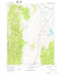
1952 Map of Scipio North
USGS Topo · Published 1980About this map
The Union Pacific railroad and Sevier River anchor the high desert landscape of central Utah, where irrigation efforts are visible through the massive Sevier Bridge Reservoir and its associated Yuba Dam. This 1952 topographic study shows the community of Scipio at the base of the Low Hills, near a local Cem and a series of spring-fed drainages like Fishers Spr. The western half of the map is dominated by the steep rises of the Fishlake National Forest, where peaks like Foot Peak and Williams Peak overlook complex canyon systems including Hardscrabble Canyon and Wild Horse Canyon. The presence of industrial markers such as a Quarry, Gravel Pit, and various Mills near Chicken Creek suggests a mid-century economy built on resource extraction and water management for the arid Little Valley.
Find a feature on this map
75 named features on this map. Tap any name to fly to it.
Don’t see what you’re looking for? This feature index may not catch every label — zoom into the map to look around manually.
Map Details
Editions of this 1952 Scipio North Map
3 editions found
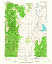
Other maps of this area

1885 · Manti
USGS Topo · 1:250,000

1885 · Sevier Desert
USGS Topo · 1:250,000

1895 · Manti
USGS Topo · 1:250,000

1951 · Oak City
USGS Topo · 1:62,500

1951 · Nephi
USGS Topo · 1:62,500

1952 · Scipio North
USGS Topo · 1:62,500

1953 · Delta
USGS Topo · 1:250,000

1956 · Price
USGS Topo · 1:250,000

1958 · Delta
USGS Topo · 1:250,000

1960 · Price
USGS Topo · 1:250,000