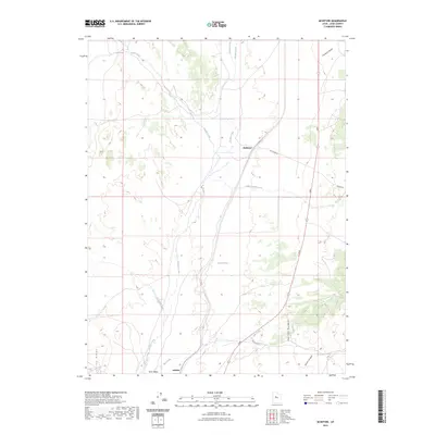
2023 Map of McIntyre
USGS Topo · Published 2023About this map
Tintic Valley and the western slopes of the East Tintic Mountains define this landscape in rural Juab County. The map details a quiet corridor of the Great Basin where the rail-aligned settlements of McIntyre and Jericho sit at the desert's edge. This area is characterized by its intermittent water sources and high-altitude drainage patterns, with Death Creek, Tanner Creek, and Copperopolis Creek cutting through the valley floor.
Find a feature on this map
18 named features on this map. Tap any name to fly to it.
Don’t see what you’re looking for? This feature index may not catch every label — zoom into the map to look around manually.
Map Details
Editions of this 2023 McIntyre Map
This is the sole edition of this map. No revisions or reprints were ever made.
Other maps of this area

1885 · Sevier Desert
USGS Topo · 1:250,000

1949 · Eureka
USGS Topo · 1:24,000

1953 · Delta
USGS Topo · 1:250,000

1954 · Mc Intyre
USGS Topo · 1:24,000

1954 · Tintic Mountain
USGS Topo · 1:24,000

1954 · Tintic Junction
USGS Topo · 1:24,000
1954 · Eureka
USGS Topo · 1:24,000

1958 · Delta
USGS Topo · 1:250,000

1962 · Delta
USGS Topo · 1:250,000

1962 · Lynndyl
USGS Topo · 1:62,500