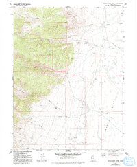
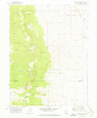
1972 Map of Indian Farm Creek
USGS Topo · Published 1993About this map
Indian Aqueduct and related water infrastructure dominate the eastern slopes of the Deep Creek Range in this early 1970s survey. The landscape transitions from high drainage basins like Dell Canyon and Cottonwood Canyon down to the arid expanse of Snake Valley. Life here is defined by scarce water sources, evidenced by named sites such as Kent Spring and the CCC Campground near Toms Creek.
Find a feature on this map
20 named features on this map. Tap any name to fly to it.
Don’t see what you’re looking for? This feature index may not catch every label — zoom into the map to look around manually.
Map Details
Editions of this 1972 Indian Farm Creek Map
3 editions found
Other maps of this area

1908 · Fish Springs
USGS Topo · 1:250,000

1910 · Fish Springs
USGS Topo · 1:250,000

1953 · Delta
USGS Topo · 1:250,000

1958 · Delta
USGS Topo · 1:250,000

1960 · Granite Mountain
USGS Topo · 1:62,500

1961 · Trout Creek
USGS Topo · 1:62,500

1962 · Delta
USGS Topo · 1:250,000

1972 · Mud Lake Reservoir
USGS Topo · 1:24,000
1972 · Ibapah Peak
USGS Topo · 1:24,000
1972 · Goshute Canyon
USGS Topo · 1:24,000