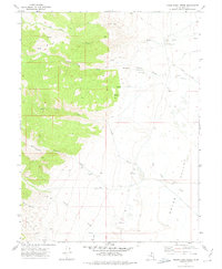
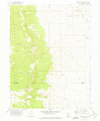
1972 Map of Indian Farm Creek
USGS Topo · Published 1975About this map
Snake Valley serves as the eastern floor for the dramatic mountain drainage systems of western Utah, as recorded in this 1970s survey. The landscape is defined by its water management and grazing infrastructure, notably the Falkenberg Ranch and the extensive Aqueduct system that channels seasonal runoff from the high canyons. Deep drainages like Cottonwood Canyon and Dell Canyon descend from the west, feeding into the valley via Indian Farm Creek and Red Cedar Creek.
Find a feature on this map
34 named features on this map. Tap any name to fly to it.
Don’t see what you’re looking for? This feature index may not catch every label — zoom into the map to look around manually.
Map Details
Editions of this 1972 Indian Farm Creek Map
3 editions found
Other maps of this area

1908 · Fish Springs
USGS Topo · 1:250,000

1910 · Fish Springs
USGS Topo · 1:250,000

1953 · Delta
USGS Topo · 1:250,000

1958 · Delta
USGS Topo · 1:250,000

1960 · Granite Mountain
USGS Topo · 1:62,500

1961 · Trout Creek
USGS Topo · 1:62,500

1962 · Delta
USGS Topo · 1:250,000

1972 · Mud Lake Reservoir
USGS Topo · 1:24,000
1972 · Ibapah Peak
USGS Topo · 1:24,000
1972 · Goshute Canyon
USGS Topo · 1:24,000