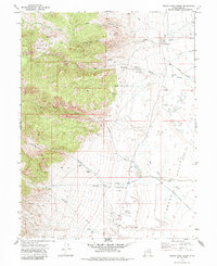
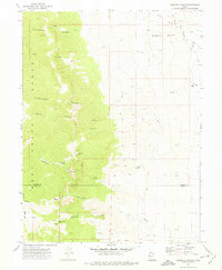
1972 Map of Indian Farm Creek
USGS Topo · Published 1985About this map
Snake Valley serves as the topographic anchor for this 1970s survey, illustrating a remote landscape of high peaks and arid lowlands in Juab County. The map details a vital water management system, tracing a significant Aqueduct that skirts the foothills to collect runoff from high-elevation drainages such as Indian Farm Creek and Toms Creek. Human activity is concentrated around isolated resource points, including the Falkenberg Ranch and the CCC Campground, while the presence of scattered prospects and mines in the granite-laden canyons suggests a history of mineral exploration. Transport in this region is defined by the Weiss Highway and a network of Jeep Trails that penetrate deep into Cottonwood Canyon and Horse Canyon. This record provides a clear look at how early 1970s infrastructure and ranching adapted to the challenging basin and range geography.
Find a feature on this map
21 named features on this map. Tap any name to fly to it.
Don’t see what you’re looking for? This feature index may not catch every label — zoom into the map to look around manually.
Map Details
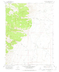
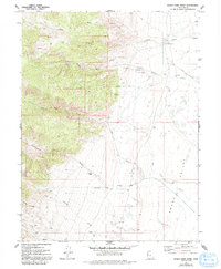
Editions of this 1972 Indian Farm Creek Map
3 editions found
Other maps of this area

1908 · Fish Springs
USGS Topo · 1:250,000

1910 · Fish Springs
USGS Topo · 1:250,000

1953 · Delta
USGS Topo · 1:250,000

1958 · Delta
USGS Topo · 1:250,000

1960 · Granite Mountain
USGS Topo · 1:62,500

1961 · Trout Creek
USGS Topo · 1:62,500

1962 · Delta
USGS Topo · 1:250,000

1972 · Mud Lake Reservoir
USGS Topo · 1:24,000
1972 · Ibapah Peak
USGS Topo · 1:24,000
1972 · Goshute Canyon
USGS Topo · 1:24,000