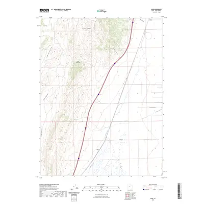
2023 Map of Juab
USGS Topo · Published 2023About this map
Juab Valley serves as the primary geographical focus of this area, where the flat basin floor meets the rising elevations of the West Hills and the prominent Cedar Mtn. The settlement of Juab is positioned along the western edge of the valley, near the winding course of Chicken Creek. This modern survey illustrates how infrastructure and local transport have adapted to the terrain, with roads like Slaughterhouse Ln, Crooked Ln, and Powell Ln carving out a grid across the valley floor. To the west, the landscape becomes increasingly complex at Sage Valley Pass, which separates the Middle Fork Sage Valley from the East Fork Sage Valley. In the northeast corner, the small settlement of Sharp sits near the mouth of Wide Canyon, highlighting the long-standing importance of canyon access points for movement between these high-desert valleys.
Find a feature on this map
15 named features on this map. Tap any name to fly to it.
Don’t see what you’re looking for? This feature index may not catch every label — zoom into the map to look around manually.
Map Details
Editions of this 2023 Juab Map
This is the sole edition of this map. No revisions or reprints were ever made.
Other maps of this area

1885 · Manti
USGS Topo · 1:250,000

1885 · Sevier Desert
USGS Topo · 1:250,000

1895 · Manti
USGS Topo · 1:250,000

1951 · Nephi
USGS Topo · 1:62,500

1952 · Scipio North
USGS Topo · 1:62,500

1953 · Delta
USGS Topo · 1:250,000

1956 · Price
USGS Topo · 1:250,000

1958 · Delta
USGS Topo · 1:250,000

1960 · Price
USGS Topo · 1:250,000

1962 · Price
USGS Topo · 1:250,000