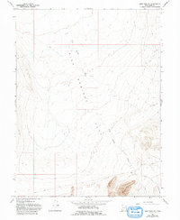
1967 Map of Sand Pass NE
USGS Topo · Published 1993About this map
Fish Springs Flat dominates this desert landscape along the Utah-Juab Co. line, where the topography is defined by ephemeral drainage systems like Fish Springs Wash and Swasey Knolls Wash. The area appears largely undeveloped in the late twentieth century, characterized by natural features and light infrastructure suited for resource exploration and transport. In the southeastern corner, the Topaz Landing Strip indicates a point of remote accessibility, likely tied to the scattered Prospect and Drill Holes that suggest mineral or geological testing throughout the region.
Find a feature on this map
9 named features on this map. Tap any name to fly to it.
Don’t see what you’re looking for? This feature index may not catch every label — zoom into the map to look around manually.
Map Details
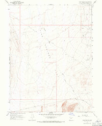
Editions of this 1967 Sand Pass NE Map
2 editions found
Other maps of this area

1908 · Fish Springs
USGS Topo · 1:250,000

1910 · Fish Springs
USGS Topo · 1:250,000

1953 · Dugway Range
USGS Topo · 1:62,500

1953 · Topaz Mtn
USGS Topo · 1:62,500

1953 · Delta
USGS Topo · 1:250,000

1958 · Delta
USGS Topo · 1:250,000

1962 · Delta
USGS Topo · 1:250,000

1967 · Sand Pass
USGS Topo · 1:24,000

1967 · Sand Pass NW
USGS Topo · 1:24,000

1967 · Sand Pass SE
USGS Topo · 1:24,000