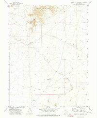
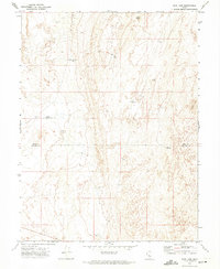
1971 Map of Desert Mtn Reservoir
USGS Topo · Published 1974About this map
Desert Mountain dominates the northern reaches of this Juab County landscape, rising sharply above the arid flats where water management shaped the local economy in the early 1970s. The map illustrates a network of seasonal hydrology and human adaptation, centered around the Desert Mtn Reservoir and the South Desert Mtn Res. These catchments, along with the drainage of Cherry Creek and a wide Wash, suggest the critical importance of water for livestock or mining operations in this high-desert environment. Evidence of historical resource extraction is visible through a noted Prospect and Well No 5. Connectivity across the sage and salt flats is maintained by a system of primitive routes, including a Jeep Trail and various older trails that skirt the edges of the Sand Dunes and the base of the mountains.
Find a feature on this map
13 named features on this map. Tap any name to fly to it.
Don’t see what you’re looking for? This feature index may not catch every label — zoom into the map to look around manually.
Map Details
Editions of this 1971 Desert Mtn Reservoir Map
This is the sole edition of this map. No revisions or reprints were ever made.
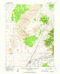
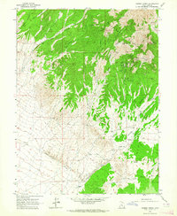
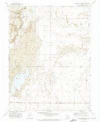
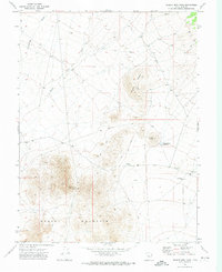
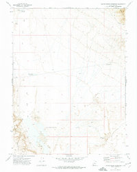
Other maps of this area

1885 · Sevier Desert
USGS Topo · 1:250,000

1953 · Delta
USGS Topo · 1:250,000

1958 · Delta
USGS Topo · 1:250,000

1962 · Delta
USGS Topo · 1:250,000
1962 · Lynndyl
USGS Topo · 1:62,500
1963 · Cherry Creek
USGS Topo · 1:24,000
1971 · Baker Hot Springs
USGS Topo · 1:24,000
1971 · Rain Lake
USGS Topo · 1:24,000
1971 · Desert Mtn Pass
USGS Topo · 1:24,000
1971 · Crater Bench Reservoir
USGS Topo · 1:24,000