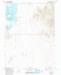
1967 Map of Fish Springs SE
USGS Topo · Published 1993About this map
Fish Springs National Wildlife Refuge occupies a significant portion of this high-desert basin, where a series of spring-fed impoundments contrast sharply with the surrounding arid terrain. The map details several distinct water bodies including Egret Pool, Curlew Pool, and Avocet Pool, highlighting a managed wetland system critical for migratory birds within the otherwise desolate Fish Springs Flat. These pools are flanked by extensive Mud Flats, illustrating the precarious hydrological balance of the Great Basin during the mid-to-late 20th century.
Find a feature on this map
13 named features on this map. Tap any name to fly to it.
Don’t see what you’re looking for? This feature index may not catch every label — zoom into the map to look around manually.
Map Details
Editions of this 1967 Fish Springs SE Map
4 editions found

Other maps of this area

1908 · Fish Springs
USGS Topo · 1:250,000

1910 · Fish Springs
USGS Topo · 1:250,000

1953 · Dugway Range
USGS Topo · 1:62,500

1953 · Topaz Mtn
USGS Topo · 1:62,500

1953 · Dugway Range NW
USGS Topo · 1:24,000

1953 · Delta
USGS Topo · 1:250,000

1958 · Delta
USGS Topo · 1:250,000

1962 · Delta
USGS Topo · 1:250,000

1967 · Sand Pass NW
USGS Topo · 1:24,000

1967 · Fish Springs NW
USGS Topo · 1:24,000