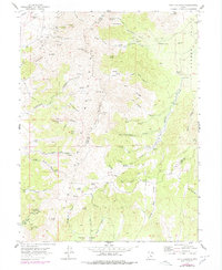
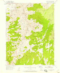
1954 Map of Tintic Mountain
USGS Topo · Published 1984About this map
The high elevations of the Tintic Mountains dominate this survey, which straddles the boundary between Juab and Utah counties. The northern reaches are heavily marked by the region's mining heritage, featuring a concentration of extraction sites like the Buckeye Mine, Evelyn Mine, and Old Susan Mine near Sunrise Peak. These industrial markers are linked by early transit routes such as the Copperopolis Road, showing the logistical network required to move ore from the peaks down toward Goshen Valley.
Find a feature on this map
76 named features on this map. Tap any name to fly to it.
Don’t see what you’re looking for? This feature index may not catch every label — zoom into the map to look around manually.
Map Details
Editions of this 1954 Tintic Mountain Map
3 editions found
Other maps of this area

1885 · Manti
USGS Topo · 1:250,000

1885 · Sevier Desert
USGS Topo · 1:250,000

1895 · Manti
USGS Topo · 1:250,000

1949 · Eureka
USGS Topo · 1:24,000

1951 · Santaquin
USGS Topo · 1:62,500

1951 · Nephi
USGS Topo · 1:62,500

1953 · Delta
USGS Topo · 1:250,000

1954 · Mc Intyre
USGS Topo · 1:24,000

1954 · Tintic Mountain
USGS Topo · 1:24,000

1954 · Tintic Junction
USGS Topo · 1:24,000