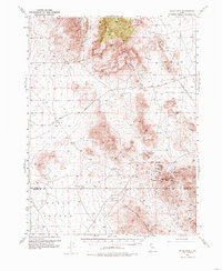
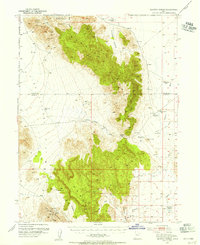
1953 Map of Topaz Mtn
USGS Topo · Published 1985About this map
Spor Mountain and the distinct volcanic formations of Topaz Mountain dominate this mid-century survey of the West Desert's mineral-rich ranges. The landscape is defined by its mining activity and critical water points, where operations like the Willden Mine and Bell Hill Mine established a presence among the high ridges of the Drum Mountains. Transportation in the early 1950s relied on a network of remote tracks, notably the Sand Pass Road and the Delta Callao Road, which connected isolated springs and wells across the basin floor.
Find a feature on this map
23 named features on this map. Tap any name to fly to it.
Don’t see what you’re looking for? This feature index may not catch every label — zoom into the map to look around manually.
Map Details
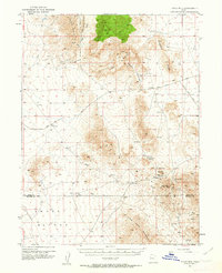
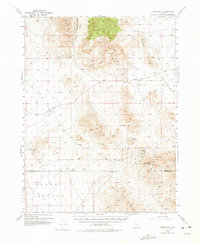
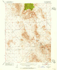
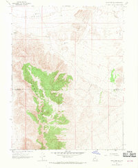
Editions of this 1953 Topaz Mtn Map
4 editions found
Other maps of this area

1885 · Sevier Desert
USGS Topo · 1:250,000

1908 · Fish Springs
USGS Topo · 1:250,000

1910 · Fish Springs
USGS Topo · 1:250,000
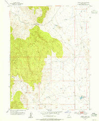
1953 · Dugway Pass
USGS Topo · 1:24,000
1953 · Dugway Range
USGS Topo · 1:62,500
1953 · Topaz Mtn
USGS Topo · 1:62,500

1953 · Delta
USGS Topo · 1:250,000

1958 · Delta
USGS Topo · 1:250,000

1962 · Delta
USGS Topo · 1:250,000
1967 · Sand Pass SE
USGS Topo · 1:24,000