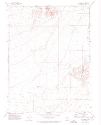
1971 Map of The Hogback
USGS Topo · Published 1974About this map
Keg Mountain rises in the northern reaches of this 1970s survey, overlooking a landscape defined by sharp topographical changes and water management in a dry basin. The terrain transitions from the heights of the mountain down toward Crater Bench, showing the intricate contour work required to map the western desert's volcanic and sedimentary formations. Evidence of human activity is sparse but purposeful, centered on water access points such as the Hogback Reservoir and a lone Well located in the central flats.
Find a feature on this map
6 named features on this map. Tap any name to fly to it.
Don’t see what you’re looking for? This feature index may not catch every label — zoom into the map to look around manually.
Map Details
Editions of this 1971 The Hogback Map
2 editions found
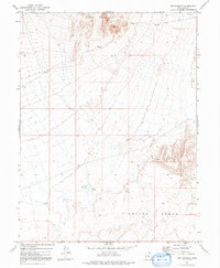
Other maps of this area

1885 · Sevier Desert
USGS Topo · 1:250,000

1953 · Delta
USGS Topo · 1:250,000

1958 · Delta
USGS Topo · 1:250,000

1962 · Delta
USGS Topo · 1:250,000

1971 · Baker Hot Springs
USGS Topo · 1:24,000

1971 · Picture Rock Hills
USGS Topo · 1:24,000

1971 · Drum Mts Well
USGS Topo · 1:24,000

1971 · Crater Bench Reservoir
USGS Topo · 1:24,000
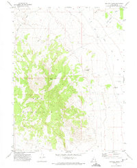
1971 · Keg Mtn Ranch
USGS Topo · 1:24,000

1971 · Fumarole Butte
USGS Topo · 1:24,000