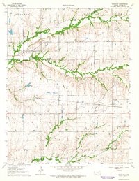
1964 Map of Keighley
USGS Topo · Published 1965About this map
The St Louis-San Francisco railroad cuts a straight path through this rural Butler County landscape, connecting the small settlement of Keighley to the wider region. In the mid-1960s, this area was defined by its intricate drainage systems, where the North Branch Walnut River and Little Walnut River converge amidst a network of smaller streams like Nicholas Creek and Hickory Creek. The land use is a mix of agricultural pasture and scattered industrial activity, evidenced by several Gravel Pits, a Quarry, and an Oil Well located near the northern township line.
Find a feature on this map
26 named features on this map. Tap any name to fly to it.
Don’t see what you’re looking for? This feature index may not catch every label — zoom into the map to look around manually.
Map Details
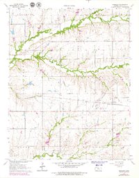
Editions of this 1964 Keighley Map
2 editions found
Other maps of this area

1888 · Eldorado
USGS Topo · 1:125,000

1955 · Wichita
USGS Topo · 1:250,000

1958 · Wichita
USGS Topo · 1:250,000

1961 · Pontiac
USGS Topo · 1:24,000

1961 · El Dorado
USGS Topo · 1:24,000

1961 · Rosalia
USGS Topo · 1:24,000

1963 · Leon
USGS Topo · 1:24,000

1964 · Augusta SE
USGS Topo · 1:24,000

1964 · Beaumont
USGS Topo · 1:24,000

1964 · Latham
USGS Topo · 1:24,000