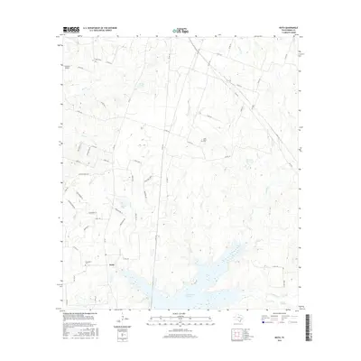
2016 Map of Keith
USGS Topo · Published 2016About this map
The community of Keith anchors the southwestern portion of this Grimes County landscape, situated at the junction of FM 244 and several rural county roads. This area of East Texas is defined by a network of creeks and small drainages that feed into the expansive Gibbons Cr Reservoir to the south. Historically significant burial grounds, including Evergreen Cem near the town center and Enon Cem to the north, offer valuable points for genealogical research and local history. The terrain rises to the prominent Fawn Oaks Ridge, while the eastern portion of the sheet is marked by the Howard Reservoir and the winding course of Wilson Br. The presence of K Ranch Airport and several private lanes like Jarvis Ln and Crenshaw Ln illustrate the modern rural development patterns over the undulating Texas countryside.
Find a feature on this map
68 named features on this map. Tap any name to fly to it.
Don’t see what you’re looking for? This feature index may not catch every label — zoom into the map to look around manually.
Map Details
Editions of this 2016 Keith Map
This is the sole edition of this map. No revisions or reprints were ever made.
Other maps of this area

1931 · Iola
USGS Topo · 1:62,500

1954 · Beaumont
USGS Topo · 1:250,000

1954 · Austin
USGS Topo · 1:250,000

1956 · Carlos
USGS Topo · 1:62,500

1957 · Beaumont
USGS Topo · 1:250,000

1959 · Clear Lake
USGS Topo · 1:24,000

1959 · Reliance
USGS Topo · 1:24,000

1959 · Ferguson Crossing
USGS Topo · 1:24,000

1960 · Carlos
USGS Topo · 1:24,000

1961 · Singleton
USGS Topo · 1:24,000