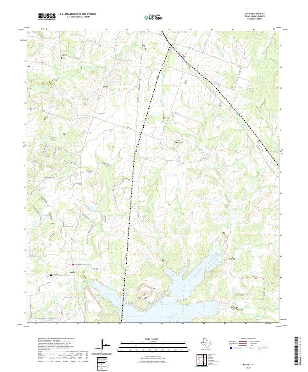
2022 Map of Keith
USGS Topo · Published 2022About this map
Keith serves as the primary community anchor in this part of Grimes County, situated amidst a landscape defined by the expansive Gibbons Creek Reservoir. The terrain north of the reservoir is characterized by a dense network of tributaries including Hog Creek, Plum Cr, and Cedar Creek, which feed into the primary basin. This 2022 survey captures a rural Texas landscape where local history is preserved in sites like Evergreen Cem, Grove Cem, and Enon Cem. The presence of Kellum Springs and various family-named water bodies like Johnson Lake and Frances Lake suggests a long-standing reliance on these local water sources for agriculture and settlement. The elevation rises toward Fawn Oaks Ridge, providing a topographic contrast to the low-lying creek beds and the vast Sulphur Creek bottomlands.
Find a feature on this map
74 named features on this map. Tap any name to fly to it.
Don’t see what you’re looking for? This feature index may not catch every label — zoom into the map to look around manually.
Map Details
Editions of this 2022 Keith Map
This is the sole edition of this map. No revisions or reprints were ever made.
Other maps of this area

1931 · Iola
USGS Topo · 1:62,500

1954 · Beaumont
USGS Topo · 1:250,000

1954 · Austin
USGS Topo · 1:250,000

1956 · Carlos
USGS Topo · 1:62,500

1957 · Beaumont
USGS Topo · 1:250,000

1959 · Clear Lake
USGS Topo · 1:24,000

1959 · Reliance
USGS Topo · 1:24,000

1959 · Ferguson Crossing
USGS Topo · 1:24,000

1960 · Carlos
USGS Topo · 1:24,000

1961 · Singleton
USGS Topo · 1:24,000