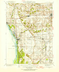
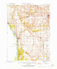
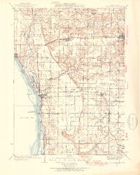
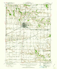
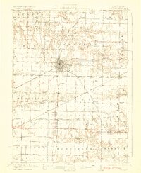
1935 Map of Keithsburg
USGS Topo · Published 1954About this map
The Mississippi River defines the western edge of this mid-1930s landscape, bordering the riverfront settlements of New Boston and Keithsburg. This era shows a dense network of country education and spiritual life, with numerous rural schoolhouses such as Hazel Dell Sch, Sunny Grove Sch, and Scaly Point Sch scattered across the townships. The rural economy is supported by two major rail lines, the Chicago Burlington and Quincy and the Minneapolis and St Louis, which intersect at Joy and pass through Seaton.
Find a feature on this map
57 named features on this map. Tap any name to fly to it.
Don’t see what you’re looking for? This feature index may not catch every label — zoom into the map to look around manually.
Map Details
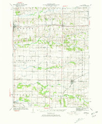
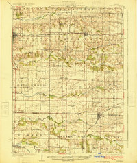
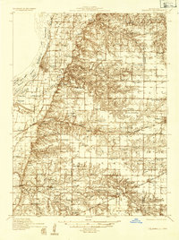
Editions of this 1935 Keithsburg Map
4 editions found
Other maps of this area

1912 · Milan
USGS Topo · 1:62,500

1916 · Edgington
USGS Topo · 1:62,500
1921 · Monmouth
USGS Topo · 1:62,500
1923 · Monmouth
USGS Topo · 1:62,500
1923 · Alexis
USGS Topo · 1:62,500
1925 · Alexis
USGS Topo · 1:62,500
1934 · Oquawka
USGS Topo · 1:48,000

1934 · Burlington
USGS Topo · 1:48,000

1935 · Keithsburg
USGS Topo · 1:48,000

1938 · Edgington
USGS Topo · 1:62,500