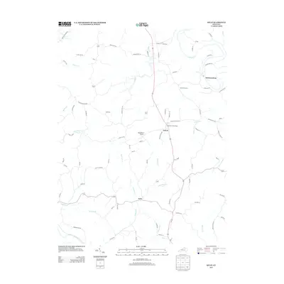
2013 Map of Kelat
USGS Topo · Published 2013About this map
The Licking River and its major tributaries dictate the rural landscape of this Pendleton County region. Small communities such as McKinneysburg, Antioch, and Kelat serve as historic anchor points within a network of country roads named for local families and landmarks, including Colvins Bnd and Moonshine Hollow. The terrain is characterized by the complex drainage systems of Snake Lick Cr and Richland Cr, the latter being crossed by the Richland Creek Bridge. Genealogists may find value in the location of the Old Mt. Vernon Cem near the river's path. The southern portion of the map is bounded by the S Fork Licking River, illustrating how the bifurcating river system shaped the early settlement patterns and transport corridors of this part of northern Kentucky.
Find a feature on this map
89 named features on this map. Tap any name to fly to it.
Don’t see what you’re looking for? This feature index may not catch every label — zoom into the map to look around manually.
Map Details
Editions of this 2013 Kelat Map
This is the sole edition of this map. No revisions or reprints were ever made.
Other maps of this area

1929 · Cynthiana
USGS Topo · 1:48,000

1930 · Falmouth
USGS Topo · 1:48,000

1934 · Cynthiana
USGS Topo · 1:62,500

1936 · Falmouth
USGS Topo · 1:62,500

1952 · Berlin
USGS Topo · 1:24,000

1952 · Shady Nook
USGS Topo · 1:24,000

1952 · Claysville
USGS Topo · 1:24,000

1953 · Berry
USGS Topo · 1:24,000

1953 · Breckinridge
USGS Topo · 1:24,000

1953 · Kelat
USGS Topo · 1:24,000