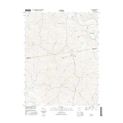
2016 Map of Kelat
USGS Topo · Published 2016About this map
McKinneysburg sits at a prominent bend in the Licking River, marking a landscape where the river’s winding course dictates the local geography of Pendleton and Harrison Counties. This 2016 survey shows a rural interior defined by narrow ridges and deep hollows, such as Moonshine Hollow, which feed a complex network of tributaries including Blanket Creek and Snake Lick Creek. The small settlements of Antioch and Kelat serve as interior crossroads, connected by historic routes like the Old Falmouth Road.
Find a feature on this map
77 named features on this map. Tap any name to fly to it.
Don’t see what you’re looking for? This feature index may not catch every label — zoom into the map to look around manually.
Map Details
Editions of this 2016 Kelat Map
This is the sole edition of this map. No revisions or reprints were ever made.
Other maps of this area

1929 · Cynthiana
USGS Topo · 1:48,000

1930 · Falmouth
USGS Topo · 1:48,000

1934 · Cynthiana
USGS Topo · 1:62,500

1936 · Falmouth
USGS Topo · 1:62,500

1952 · Berlin
USGS Topo · 1:24,000

1952 · Shady Nook
USGS Topo · 1:24,000

1952 · Claysville
USGS Topo · 1:24,000

1953 · Berry
USGS Topo · 1:24,000

1953 · Breckinridge
USGS Topo · 1:24,000

1953 · Kelat
USGS Topo · 1:24,000