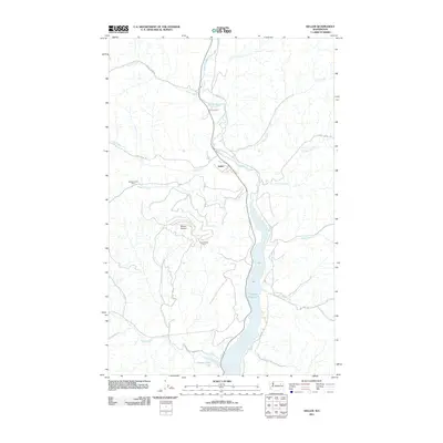
2011 Map of Keller
USGS Topo · Published 2011About this map
Keller sits at the confluence of the Sanpoil River and Jack Creek, serving as a central hub in this reach of Ferry County. The geography is defined by the significant widening of the river into the Sanpoil River Arm, which dominates the eastern half of the map. This landscape reflects a history of extraction and mountain access, evidenced by the prominent elevation of Mount Tolman and the Consolidated Mines located along its eastern slopes.
Find a feature on this map
26 named features on this map. Tap any name to fly to it.
Don’t see what you’re looking for? This feature index may not catch every label — zoom into the map to look around manually.
Map Details
Editions of this 2011 Keller Map
This is the sole edition of this map. No revisions or reprints were ever made.
Other maps of this area

1948 · Grand Coulee Dam
USGS Topo · 1:62,500

1948 · Wilbur
USGS Topo · 1:62,500

1950 · Wilbur
USGS Topo · 1:62,500

1950 · Grand Coulee Dam
USGS Topo · 1:62,500

1950 · Nespelem
USGS Topo · 1:62,500

1952 · Keller
USGS Topo · 1:62,500

1953 · Ritzville
USGS Topo · 1:250,000

1954 · Okanogan
USGS Topo · 1:250,000

1958 · Okanogan
USGS Topo · 1:250,000

1959 · Ritzville
USGS Topo · 1:250,000