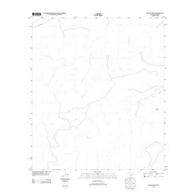
2012 Map of Kelley Peak
USGS Topo · Published 2012About this map
Kelley Peak rises above a landscape defined by an intricate network of intermittent drainages in this Edwards County survey. The hydrology of the area is anchored by several named water sources, including Winans Spring and Pecan Spring, which historically served as vital points of interest in this arid region. The drainage pattern is dominated by Sycamore Cr and its tributary Rough Sycamore Cr, alongside other seasonal waterways like Spring Cr and Lost Cr. Aside from Cedar Creek Rd in the northwest, the map shows a largely undeveloped terrain where local ranching or survey lines appear as the primary human mark on the land. This 2012 edition by the U.S. Geological Survey provides a detailed topographic record of the natural landmarks and water distribution that have influenced land use in this part of Texas for generations.
Find a feature on this map
9 named features on this map. Tap any name to fly to it.
Don’t see what you’re looking for? This feature index may not catch every label — zoom into the map to look around manually.
Map Details
Editions of this 2012 Kelley Peak Map
This is the sole edition of this map. No revisions or reprints were ever made.
Other maps of this area

1893 · Nueces
USGS Topo · 1:125,000

1896 · Nueces
USGS Topo · 1:125,000

1944 · Barksdale
USGS Topo · 1:62,500

1944 · Indian Creek
USGS Topo · 1:62,500

1944 · Indian Mountain
USGS Topo · 1:62,500

1947 · Hackberry
USGS Topo · 1:62,500

1958 · Del Rio
USGS Topo · 1:250,000

1964 · Del Rio
USGS Topo · 1:250,000
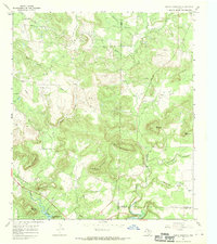
1967 · Indian Mountain
USGS Topo · 1:24,000
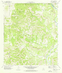
1973 · Montell
USGS Topo · 1:24,000