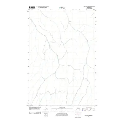
2011 Map of Kellogg Creek
USGS Topo · Published 2011About this map
Alto and Relief sit within a landscape defined by the drainage systems of Kellogg Creek and McKay Creek in Columbia County. This 2011 survey documents the rural character of the region, where deep-cut valleys and canyons like Smith Hollow dictate the placement of the local transportation network. The map reveals a high-elevation plateau environment where the road system is largely comprised of routes following the creek beds or climbing the ridges, such as Kellogg Hollow Rd and Mc Kay Alto Rd. Genealogists and local historians can trace family-named thoroughfares including Bickelhaupt Rd, Prater Rd, and Young Rd, which connect the scattered homesteads and agricultural operations that have long characterized this portion of southeastern Washington. The drainage patterns and the specific alignment of roads like Alto Rd reflect the historical movement of goods and people between these small, rural population centers.
Find a feature on this map
17 named features on this map. Tap any name to fly to it.
Don’t see what you’re looking for? This feature index may not catch every label — zoom into the map to look around manually.
Map Details
Editions of this 2011 Kellogg Creek Map
This is the sole edition of this map. No revisions or reprints were ever made.
Other maps of this area

1919 · Walla Walla
USGS Topo · 1:125,000

1921 · Walla Walla
USGS Topo · 1:125,000

1937 · Pomeroy
USGS Topo · 1:96,000

1942 · Pomeroy
USGS Topo · 1:125,000

1948 · Starbuck
USGS Topo · 1:62,500

1950 · Starbuck
USGS Topo · 1:62,500

1950 · Hay
USGS Topo · 1:62,500

1952 · Hay
USGS Topo · 1:62,500

1953 · Walla Walla
USGS Topo · 1:250,000

1955 · Pullman
USGS Topo · 1:250,000