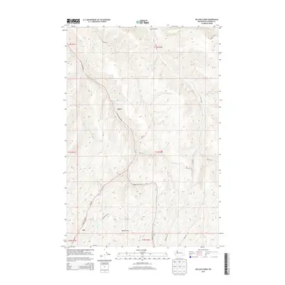
2013 Map of Kellogg Creek
USGS Topo · Published 2013About this map
Alto and the settlement of Relief anchor this 2013 landscape in Columbia County, where deeply incised drainages define the regional character. The terrain is dominated by the winding course of Kellogg Cr, which travels south through a namesake valley alongside Kellogg Hollow Rd. This corridor serves as the primary artery through a series of significant geographic depressions, including Smith Hollow to the north and McKay Hollow to the south.
Find a feature on this map
26 named features on this map. Tap any name to fly to it.
Don’t see what you’re looking for? This feature index may not catch every label — zoom into the map to look around manually.
Map Details
Editions of this 2013 Kellogg Creek Map
This is the sole edition of this map. No revisions or reprints were ever made.
Other maps of this area

1919 · Walla Walla
USGS Topo · 1:125,000

1921 · Walla Walla
USGS Topo · 1:125,000

1937 · Pomeroy
USGS Topo · 1:96,000

1942 · Pomeroy
USGS Topo · 1:125,000

1948 · Starbuck
USGS Topo · 1:62,500

1950 · Starbuck
USGS Topo · 1:62,500

1950 · Hay
USGS Topo · 1:62,500

1952 · Hay
USGS Topo · 1:62,500

1953 · Walla Walla
USGS Topo · 1:250,000

1955 · Pullman
USGS Topo · 1:250,000