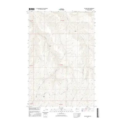
2017 Map of Kellogg Creek
USGS Topo · Published 2017About this map
Alto and Relief are the primary points of interest in this section of Columbia County, where the landscape is defined by deeply carved hollows and narrow creek drainages. The settlement at Alto sits near the confluence of local routes like Mc Kay Alto Rd and Balch Rd, while McKay Hollow and Smith Hollow carve distinct paths through the high ground. The drainage network is led by Kellogg Cr and McKay Cr, which dictate the placement of the area's winding road system. A network of rural connectors, including Kellogg Hollow Rd and Pettichord Rd, provides a clear view of how agricultural or ranching access was maintained between these remote plateaus and valley floors.
Find a feature on this map
24 named features on this map. Tap any name to fly to it.
Don’t see what you’re looking for? This feature index may not catch every label — zoom into the map to look around manually.
Map Details
Editions of this 2017 Kellogg Creek Map
This is the sole edition of this map. No revisions or reprints were ever made.
Other maps of this area

1919 · Walla Walla
USGS Topo · 1:125,000

1921 · Walla Walla
USGS Topo · 1:125,000

1937 · Pomeroy
USGS Topo · 1:96,000

1942 · Pomeroy
USGS Topo · 1:125,000

1948 · Starbuck
USGS Topo · 1:62,500

1950 · Starbuck
USGS Topo · 1:62,500

1950 · Hay
USGS Topo · 1:62,500

1952 · Hay
USGS Topo · 1:62,500

1953 · Walla Walla
USGS Topo · 1:250,000

1955 · Pullman
USGS Topo · 1:250,000