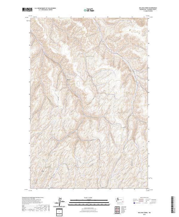
2023 Map of Kellogg Creek
USGS Topo · Published 2023About this map
Alto and Relief sit at the center of this rural landscape in Columbia County, where a network of hollows and creeks dictates the settlement pattern. The terrain is deeply incised by drainages like Kellogg Creek and McKay Creek, which provide the primary north-south corridors for travel and small-scale agriculture. The infrastructure is defined by a dense grid of named rural roads, such as Kellogg Hollow Rd and McKay Alto Rd, which follow the natural contours of the land rather than a strict cardinal grid.
Find a feature on this map
23 named features on this map. Tap any name to fly to it.
Don’t see what you’re looking for? This feature index may not catch every label — zoom into the map to look around manually.
Map Details
Editions of this 2023 Kellogg Creek Map
This is the sole edition of this map. No revisions or reprints were ever made.
Other maps of this area

1919 · Walla Walla
USGS Topo · 1:125,000

1921 · Walla Walla
USGS Topo · 1:125,000

1937 · Pomeroy
USGS Topo · 1:96,000

1942 · Pomeroy
USGS Topo · 1:125,000

1948 · Starbuck
USGS Topo · 1:62,500

1950 · Starbuck
USGS Topo · 1:62,500

1950 · Hay
USGS Topo · 1:62,500

1952 · Hay
USGS Topo · 1:62,500

1953 · Walla Walla
USGS Topo · 1:250,000

1955 · Pullman
USGS Topo · 1:250,000