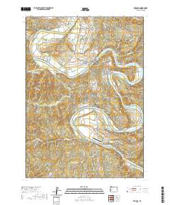
2020 Map of Kellogg
USGS Topo · Published 2020About this map
The Umpqua River defines the landscape of Douglas County near Kellogg, carving deep bends and creating notable landforms like Jones Bar and Maupin Bar. This modern survey illustrates the persistent importance of the river corridor for transportation and settlement, with roads like Mehl Creek Rd and Bullock Rd hugging the valley floors. In the northern reaches, the Dl Phipps Nursery and the towering Heddin Bluff stand as prominent landmarks overlooking the water.
Find a feature on this map
57 named features on this map. Tap any name to fly to it.
Don’t see what you’re looking for? This feature index may not catch every label — zoom into the map to look around manually.
Map Details
Editions of this 2020 Kellogg Map
This is the sole edition of this map. No revisions or reprints were ever made.
Other maps of this area

1897 · Roseburg
USGS Topo · 1:125,000

1900 · Roseburg
USGS Topo · 1:125,000

1928 · Sitkum
USGS Topo · 1:125,000

1954 · Sutherlin
USGS Topo · 1:62,500

1954 · Drain
USGS Topo · 1:62,500

1955 · Tyee
USGS Topo · 1:62,500

1955 · Elkton
USGS Topo · 1:62,500

1958 · Roseburg
USGS Topo · 1:250,000

1959 · Roseburg
USGS Topo · 1:250,000

1979 · Roseburg
USGS Topo · 1:100,000