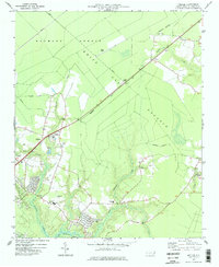
1977 Map of Kellum
USGS Topo · Published 1977About this map
The settlement of Kellum anchors this mid-1970s coastal plain survey in Onslow County, where the landscape is defined by the transition from established communities to the dense wetlands and managed timberlands. Much of the northern terrain is occupied by the expansive Hofmann Forest, a significant tract of North Carolina forestry history, alongside the distinct White Oak Pocosin to the east. These natural features represent a classic Carolina ecosystem, where the low elevation and acidic soil influenced local land use. The Seaboard Coast Line railroad cuts diagonally across the quadrangle, serving as a vital transportation artery connecting the rural communities and forest resources with larger markets. To the south, residential development begins to cluster near the Northeast Creek drainage, showing the early suburban growth patterns typical of this era in coastal North Carolina.
Find a feature on this map
1 named feature on this map. Tap any name to fly to it.
Don’t see what you’re looking for? This feature index may not catch every label — zoom into the map to look around manually.
Map Details
Editions of this 1977 Kellum Map
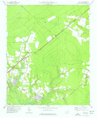
2 editions found
Other maps of this area

1942 · Maysville
USGS Topo · 1:62,500

1942 · Swansboro
USGS Topo · 1:62,500

1943 · Jacksonville
USGS Topo · 1:62,500

1948 · Maysville
USGS Topo · 1:62,500

1948 · Swansboro
USGS Topo · 1:62,500

1948 · New River
USGS Topo · 1:62,500

1952 · Hubert
USGS Topo · 1:24,000

1952 · Camp Lejeune
USGS Topo · 1:24,000

1952 · Jacksonville South
USGS Topo · 1:24,000

1953 · Beaufort
USGS Topo · 1:250,000