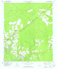
1977 Map of Kellum
USGS Topo · Published 1977About this map
Hofmann Forest and the White Oak Pocosin dominate this landscape on the Onslow County coastal plain during the mid-1970s. The Seaboard Coast Line railroad cuts diagonally across the terrain, serving as a primary transit corridor through the dense woods and wetlands between Kellum and Deppe. The map reveals a transition from these managed timberlands to the growing residential and educational hubs of the era, such as the area around White Oak High School and Morton School.
Find a feature on this map
29 named features on this map. Tap any name to fly to it.
Don’t see what you’re looking for? This feature index may not catch every label — zoom into the map to look around manually.
Map Details
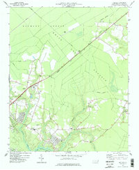
Editions of this 1977 Kellum Map
2 editions found
Other maps of this area

1942 · Maysville
USGS Topo · 1:62,500

1942 · Swansboro
USGS Topo · 1:62,500

1943 · Jacksonville
USGS Topo · 1:62,500

1948 · Maysville
USGS Topo · 1:62,500

1948 · Swansboro
USGS Topo · 1:62,500

1948 · New River
USGS Topo · 1:62,500

1952 · Hubert
USGS Topo · 1:24,000

1952 · Camp Lejeune
USGS Topo · 1:24,000

1952 · Jacksonville South
USGS Topo · 1:24,000

1953 · Beaufort
USGS Topo · 1:250,000