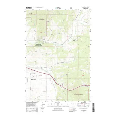
2017 Map of Kelly Creek
USGS Topo · Published 2017About this map
Gallatin National Forest dominates the high-elevation terrain of this Montana landscape, where the rugged peaks of the Bridger Range descend toward the Gallatin Valley. The eastern edge of Bozeman is visible, transitioning from residential streets like Golden Trout Way and Arrowleaf Hills Dr into the steep canyons and gulches that define the area's geography. Significant landmarks include the Bozeman Fish Technology Center near the base of Drinking Horse Mtn, and the distinctive Bozeman Beacon further south.
Find a feature on this map
76 named features on this map. Tap any name to fly to it.
Don’t see what you’re looking for? This feature index may not catch every label — zoom into the map to look around manually.
Map Details
Editions of this 2017 Kelly Creek Map
This is the sole edition of this map. No revisions or reprints were ever made.
Other maps of this area

1888 · Three Forks
USGS Topo · 1:250,000

1891 · Livingston
USGS Topo · 1:250,000

1893 · Livingston
USGS Topo · 1:250,000

1894 · Three Forks
USGS Topo · 1:250,000

1895 · Three Forks
USGS Topo · 1:250,000

1947 · Bozeman
USGS Topo · 1:250,000

1948 · Bozeman
USGS Topo · 1:250,000

1950 · Belgrade
USGS Topo · 1:62,500

1951 · Bozeman Pass
USGS Topo · 1:62,500

1951 · Sedan
USGS Topo · 1:62,500