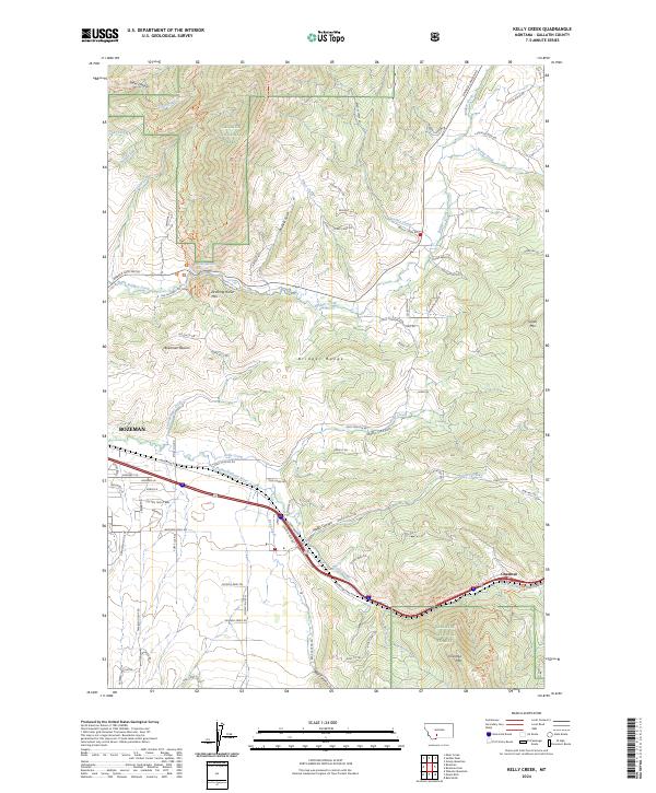
2024 Map of Kelly Creek
USGS Topo · Published 2024About this map
Bozeman expands eastward toward the rugged slopes of the Bridger Range in this contemporary Montana topography. The map illustrates a landscape where urban residential development meets the steep edges of the Gallatin National Forest, with family-named routes like Story Hill Rd and Simmons Ln navigating the rising elevations. This area serves as a critical hydrological and research hub, anchored by the Bozeman Fish Technology Center located at the mouth of Bridger Creek. In the southern portion of the quadrangle, the Interstate corridor follows the path of the East Gallatin River, passing through Moffit Canyon toward the old mining settlement of Chestnut. Local peaks such as Drinking Horse Mtn and Chestnut Mtn stand as prominent landmarks, while the Bridger Ridge Trl traces the high country, marking the boundary between the expanding valley floor and the protected forest interior.
Find a feature on this map
89 named features on this map. Tap any name to fly to it.
Don’t see what you’re looking for? This feature index may not catch every label — zoom into the map to look around manually.
Map Details
Editions of this 2024 Kelly Creek Map
This is the sole edition of this map. No revisions or reprints were ever made.
Other maps of this area

1888 · Three Forks
USGS Topo · 1:250,000

1891 · Livingston
USGS Topo · 1:250,000

1893 · Livingston
USGS Topo · 1:250,000

1894 · Three Forks
USGS Topo · 1:250,000

1895 · Three Forks
USGS Topo · 1:250,000

1947 · Bozeman
USGS Topo · 1:250,000

1948 · Bozeman
USGS Topo · 1:250,000

1950 · Belgrade
USGS Topo · 1:62,500

1951 · Bozeman Pass
USGS Topo · 1:62,500

1951 · Sedan
USGS Topo · 1:62,500