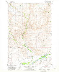
1951 Map of Kelly Hills
USGS Topo · Published 1966About this map
The Kelly Hills and the winding course of the Yellowstone River define this Montana landscape, where the border between Sweet Grass and Park counties follows the local topography. This 1951 field check reveals a ranching economy deeply tied to water management, visible through the extensive network of the Westfall Ditch and various flumes and canals. The map documents the persistent legacy of early settlement through sites like the Old Kelly Homestead and the Gage Pioneer Memorial, alongside active mid-century operations like the Long Horn A Ranch and Bow Ranch. Educational and transport infrastructure is represented by the Duck Creek School and the Northern railroad line, while crossings like Sioux Crossing indicate established routes through the rugged drainage basins of Duck Creek and Hunters Creek.
Find a feature on this map
43 named features on this map. Tap any name to fly to it.
Don’t see what you’re looking for? This feature index may not catch every label — zoom into the map to look around manually.
Map Details
Editions of this 1951 Kelly Hills Map
3 editions found
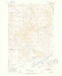
Other maps of this area

1891 · Livingston
USGS Topo · 1:250,000

1893 · Livingston
USGS Topo · 1:250,000

1947 · Bozeman
USGS Topo · 1:250,000

1948 · Bozeman
USGS Topo · 1:250,000
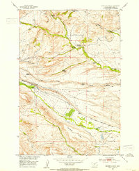
1951 · Grosfield Ranch
USGS Topo · 1:24,000
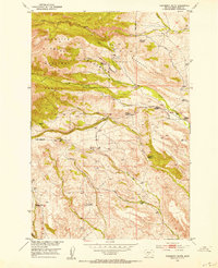
1951 · Raspberry Butte
USGS Topo · 1:24,000

1951 · Kelly Hills
USGS Topo · 1:24,000

1951 · Springdale
USGS Topo · 1:24,000

1951 · Hunters Hot Springs
USGS Topo · 1:24,000

1951 · Elton
USGS Topo · 1:24,000