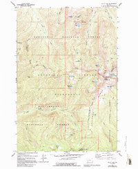
1977 Map of Kelly Lake
USGS Topo · Published 1994About this map
Senate Mine and its connecting pack trail sit high on the northern slopes of Senate Mountain, reflecting the early industrial footprint within this high-elevation wilderness. The landscape is defined by the Anaconda Range and the Continental Divide, where the waters of the Middle Fork Rock Creek and the East Fork Bitterroot River begin their divergent paths. This 1970s survey captures the junction of the Deerlodge National Forest, Bitterroot National Forest, and the Anaconda Pintler Wilderness.
Find a feature on this map
45 named features on this map. Tap any name to fly to it.
Don’t see what you’re looking for? This feature index may not catch every label — zoom into the map to look around manually.
Map Details
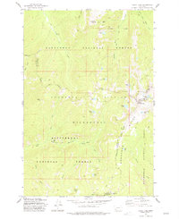
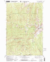
Editions of this 1977 Kelly Lake Map
3 editions found
Other maps of this area

1908 · Philipsburg
USGS Topo · 1:125,000

1909 · Sapphire
USGS Topo · 1:125,000

1947 · Butte
USGS Topo · 1:250,000

1955 · Dillon
USGS Topo · 1:250,000

1957 · Dillon
USGS Topo · 1:250,000

1958 · Butte
USGS Topo · 1:250,000

1958 · Dillon
USGS Topo · 1:250,000

1960 · Butte
USGS Topo · 1:250,000

1962 · Butte
USGS Topo · 1:250,000

1962 · Dillon
USGS Topo · 1:250,000