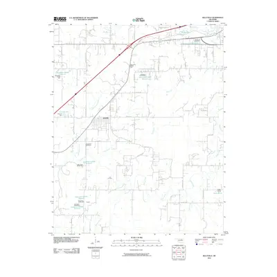
2010 Map of Kellyville
USGS Topo · Published 2010About this map
Kellyville serves as the central hub of this Oklahoma landscape, situated where the terrain transitions into a series of water-managed drainages. The map reveals a dense network of reservoirs and dams, such as the Oknoname 037020 Reservoir and Kellyville Lake, which suggest a concerted effort to manage the local watershed of Polecat Creek and its many tributaries like Little Polecat Creek and Clear Creek. This infrastructure supports the surrounding rural residences and agricultural plots typical of Creek County.
Find a feature on this map
59 named features on this map. Tap any name to fly to it.
Don’t see what you’re looking for? This feature index may not catch every label — zoom into the map to look around manually.
Map Details
Editions of this 2010 Kellyville Map
This is the sole edition of this map. No revisions or reprints were ever made.
Other maps of this area

1901 · Nuyaka
USGS Topo · 1:125,000

1912 · Hominy
USGS Topo · 1:125,000

1914 · Kiefer
USGS Topo · 1:62,500

1915 · Hominy
USGS Topo · 1:125,000

1916 · Kiefer
USGS Topo · 1:62,500

1916 · Bristow
USGS Topo · 1:62,500

1954 · Oklahoma City
USGS Topo · 1:250,000

1955 · Enid
USGS Topo · 1:250,000

1956 · Sapulpa North
USGS Topo · 1:24,000

1957 · Oklahoma City
USGS Topo · 1:250,000