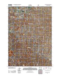
2011 Map of Kelsey Butte
USGS Topo · Published 2011About this map
Sundance Meadows marks the northern extent of this landscape, where residential development meets the high desert volcanic terrain of Deschutes County. The area is defined by a series of prominent cinder cones and volcanic landforms, including Horse Butte and Cabin Butte, which served as navigational landmarks long before modern roads were cut. A complex network of secondary roads and forest tracks, such as China Hat Rd and Swamp Wells Rd, reveals a transition from rural residential life to managed forest land. The Arnold Canal provides a critical water source in the northeast, contrasting with the dry, elevated peaks of Kelsey Butte and Lava Top Butte to the south. This 2011 survey captures the region just as local names like McArdle Rd and Gosney Rd began to anchor the expanding community footprint outside the larger town centers.
Find a feature on this map
24 named features on this map. Tap any name to fly to it.
Don’t see what you’re looking for? This feature index may not catch every label — zoom into the map to look around manually.
Map Details
Editions of this 2011 Kelsey Butte Map
This is the sole edition of this map. No revisions or reprints were ever made.
Other maps of this area

1926 · Bend
USGS Topo · 1:125,000

1929 · Bend
USGS Topo · 1:125,000

1931 · Newberry Crater
USGS Topo · 1:125,000

1935 · Newberry Crater
USGS Topo · 1:125,000

1955 · Crescent
USGS Topo · 1:250,000

1955 · Bend
USGS Topo · 1:250,000

1957 · Crescent
USGS Topo · 1:250,000

1957 · Bend
USGS Topo · 1:250,000

1958 · Crescent
USGS Topo · 1:250,000

1958 · Bend
USGS Topo · 1:250,000