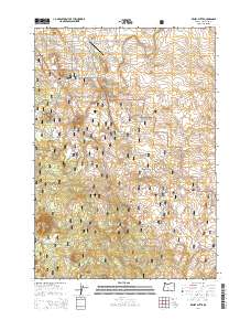
2014 Map of Kelsey Butte
USGS Topo · Published 2014About this map
Deschutes National Forest encompasses much of this high-altitude landscape, where the volcanic geology of the region is prominently on display. The northern slopes of the massive Newberry Volcano dominate the central topography, surrounded by a series of cinder cones including Kelsey Butte, Lava Top Butte, and Coyote Butte. These landforms define the rugged terrain south of the burgeoning residential areas near Sundance Meadows Airport. Transport through this geologically active zone is provided by a network of recreational and access routes such as China Hat Rd and the Horse Butte Trl, which follow the contours of the lava-formed elevations. To the north, the Arnold Canal and roads like Arnold Market Rd mark the transition toward more developed lands, while historic pathways like the Butterfield Trl skirt the forest boundaries, offering a record of movement through this volcanic corridor.
Find a feature on this map
21 named features on this map. Tap any name to fly to it.
Don’t see what you’re looking for? This feature index may not catch every label — zoom into the map to look around manually.
Map Details
Editions of this 2014 Kelsey Butte Map
This is the sole edition of this map. No revisions or reprints were ever made.
Other maps of this area

1926 · Bend
USGS Topo · 1:125,000

1929 · Bend
USGS Topo · 1:125,000

1931 · Newberry Crater
USGS Topo · 1:125,000

1935 · Newberry Crater
USGS Topo · 1:125,000

1955 · Crescent
USGS Topo · 1:250,000

1955 · Bend
USGS Topo · 1:250,000

1957 · Crescent
USGS Topo · 1:250,000

1957 · Bend
USGS Topo · 1:250,000

1958 · Crescent
USGS Topo · 1:250,000

1958 · Bend
USGS Topo · 1:250,000