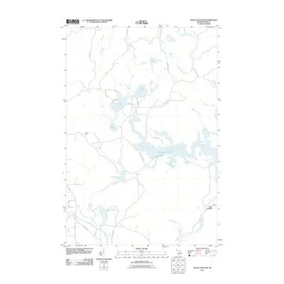
2011 Map of Kelso Junction
USGS Topo · Published 2011About this map
Michigamme Reservoir dominates the eastern half of this Iron County landscape, its complex shoreline and islands defining the local geography. This 2011 survey reveals a quiet interior characterized by numerous interconnected waterways and timberlands. Small historical settlement points like Kelso Junction and Mitchell Spur reflect the region's industrial and transport history, where the Kelso River and Kelso Creek meet. The map documents a dense network of local routes such as Deer Lake Rd, Joley Rd, and the Enstrom Cutoff, providing access to isolated water bodies including McCutcheon Lake and Liver Lake. Along the western edge, the Paint River flows near Shoe Pac Lake, illustrating the drainage patterns that have historically shaped this Upper Peninsula territory.
Find a feature on this map
38 named features on this map. Tap any name to fly to it.
Don’t see what you’re looking for? This feature index may not catch every label — zoom into the map to look around manually.
Map Details
Editions of this 2011 Kelso Junction Map
This is the sole edition of this map. No revisions or reprints were ever made.
Other maps of this area

1895 · Ned Lake
USGS Topo · 1:62,500

1899 · Sagola
USGS Topo · 1:62,500

1899 · Witbeck
USGS Topo · 1:62,500

1899 · Crystal Falls
USGS Topo · 1:62,500

1944 · Crystal Falls
USGS Topo · 1:24,000

1944 · Fortune Lakes
USGS Topo · 1:24,000

1945 · Kelso Junction
USGS Topo · 1:24,000

1945 · Amasa
USGS Topo · 1:24,000

1946 · Crystal Falls
USGS Topo · 1:31,680

1946 · Fortune Lakes
USGS Topo · 1:31,680