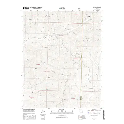
2015 Map of Keltner
USGS Topo · Published 2015About this map
Ongo and the small settlement of Keltner define this corner of the Ozarks, located along the border of Christian and Douglas Counties. Much of the southern and central terrain is protected within the Mark Twain National Forest, where a network of ridgelines and hollows dictates the local movement of water and travelers. Waterways like Swan Cr and Cedar Cr weave through the landscape, flanked by prominent features such as Harmon Ridge and Marshfield Ridge.
Find a feature on this map
67 named features on this map. Tap any name to fly to it.
Don’t see what you’re looking for? This feature index may not catch every label — zoom into the map to look around manually.
Map Details
Editions of this 2015 Keltner Map
This is the sole edition of this map. No revisions or reprints were ever made.
Other maps of this area

1884 · Springfield
USGS Topo · 1:125,000

1886 · Springfield
USGS Topo · 1:125,000

1907 · Forsyth
USGS Topo · 1:125,000

1937 · Bradleyville
USGS Topo · 1:48,000

1937 · Ozark
USGS Topo · 1:48,000

1939 · Fordland
USGS Topo · 1:62,500

1942 · Fordland
USGS Topo · 1:62,500

1943 · Ozark
USGS Topo · 1:62,500

1943 · Bradleyville
USGS Topo · 1:62,500

1945 · Harrison
USGS Topo · 1:250,000